
 THIS WEBPAGE IS A DRAFT/UNDER CONSTRUCTION
Normanby Island is part of the Franklin Islands to the south-east of Cairns. It has a fringing coral reef. We laid underwater transects and took aerial drone photographs on Sunday 29th November, 2020.
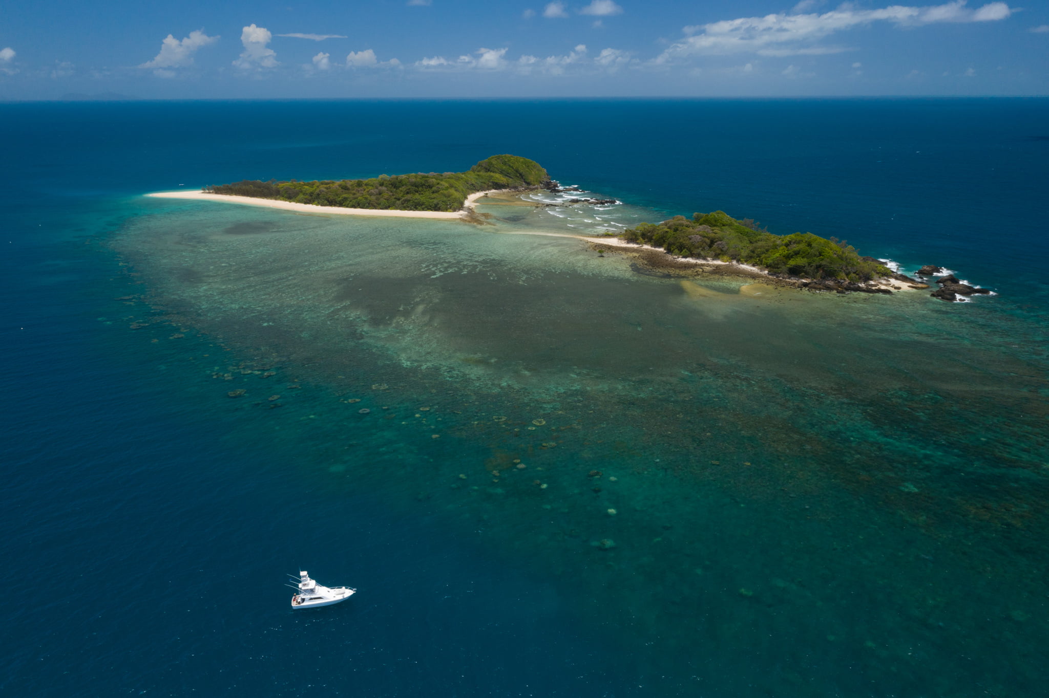
Table 1. Scale Profile, Normanby Island Reef
The position is relative to sea level at the time the photograph was taken in metres, so +120 metres is this height above the coral reef, and -1 metres (to be added) is a photograph taken at this depth below the water.| Position | @Crest | @Lagoon |
|---|---|---|
| Date | 29 Nov 2020 | 29 Nov 2020 |
| Time | 12:09 | 12:06 |
| Latitude | 17.211845° S | 17.212752° S |
| Longitude | 146.075588° E | 146.076253° E |
| Google Earth | 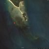 | 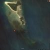 |
| +120 m Legal drone limit | 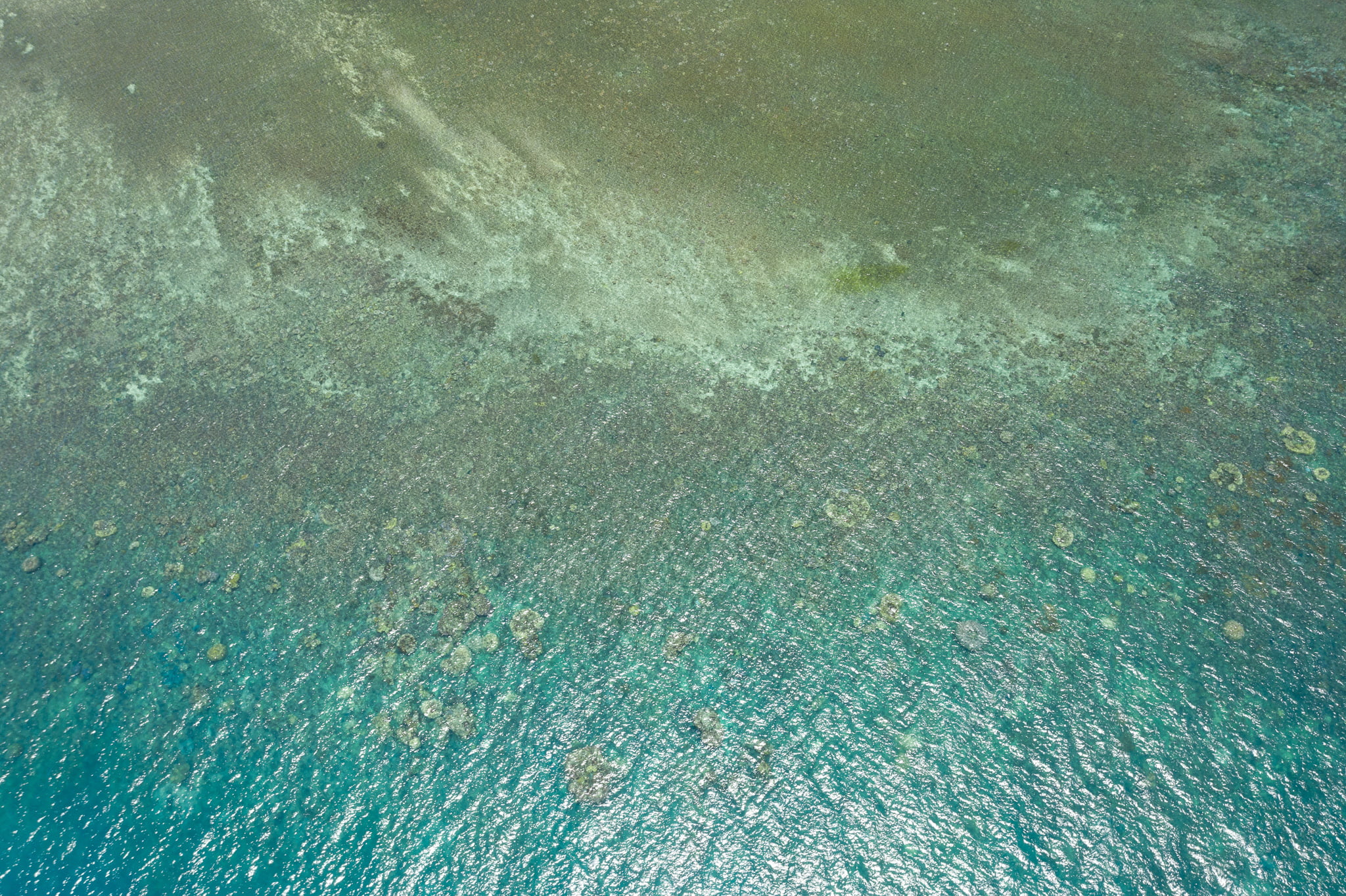 | 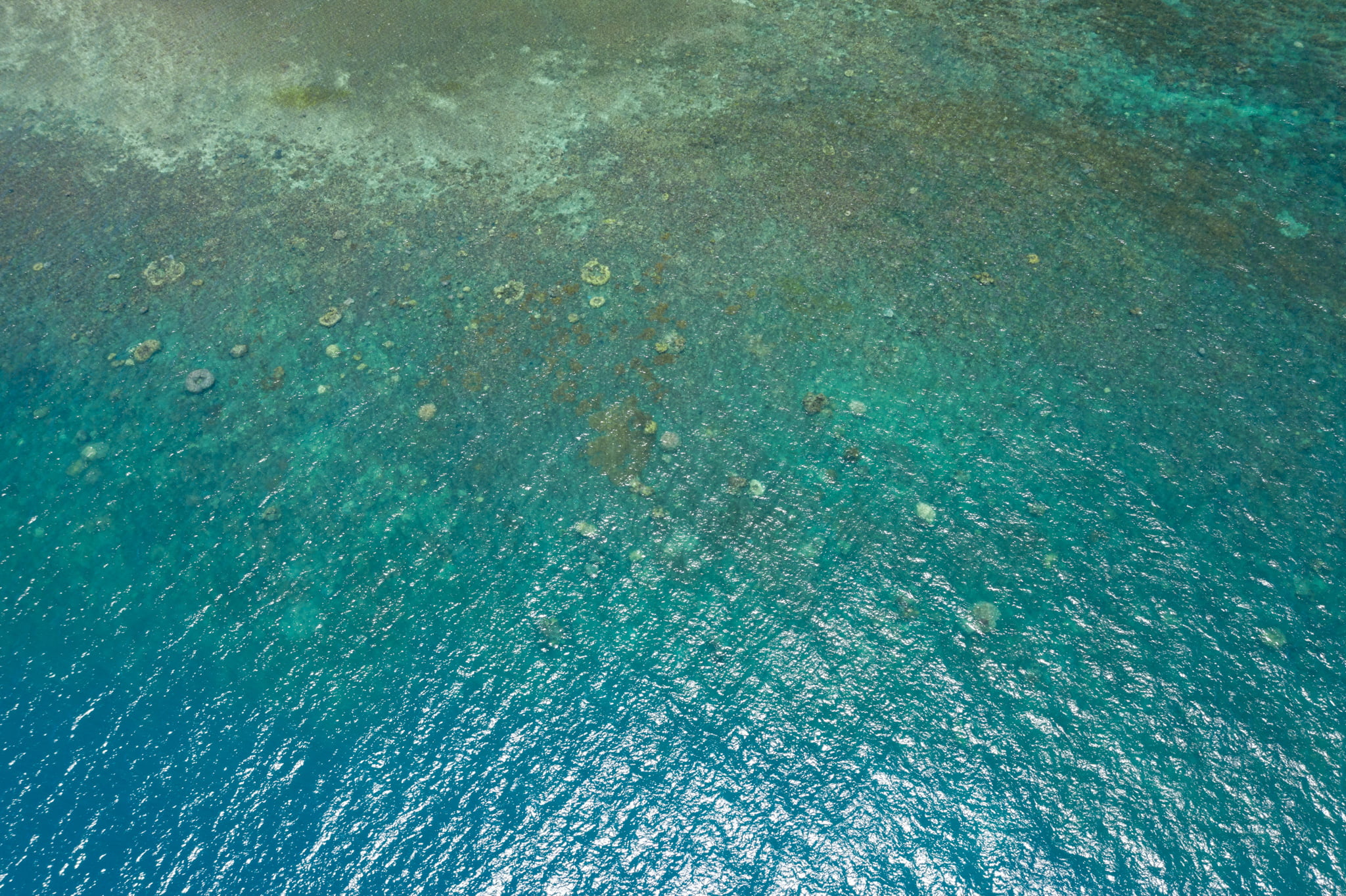 |
| +40 m | 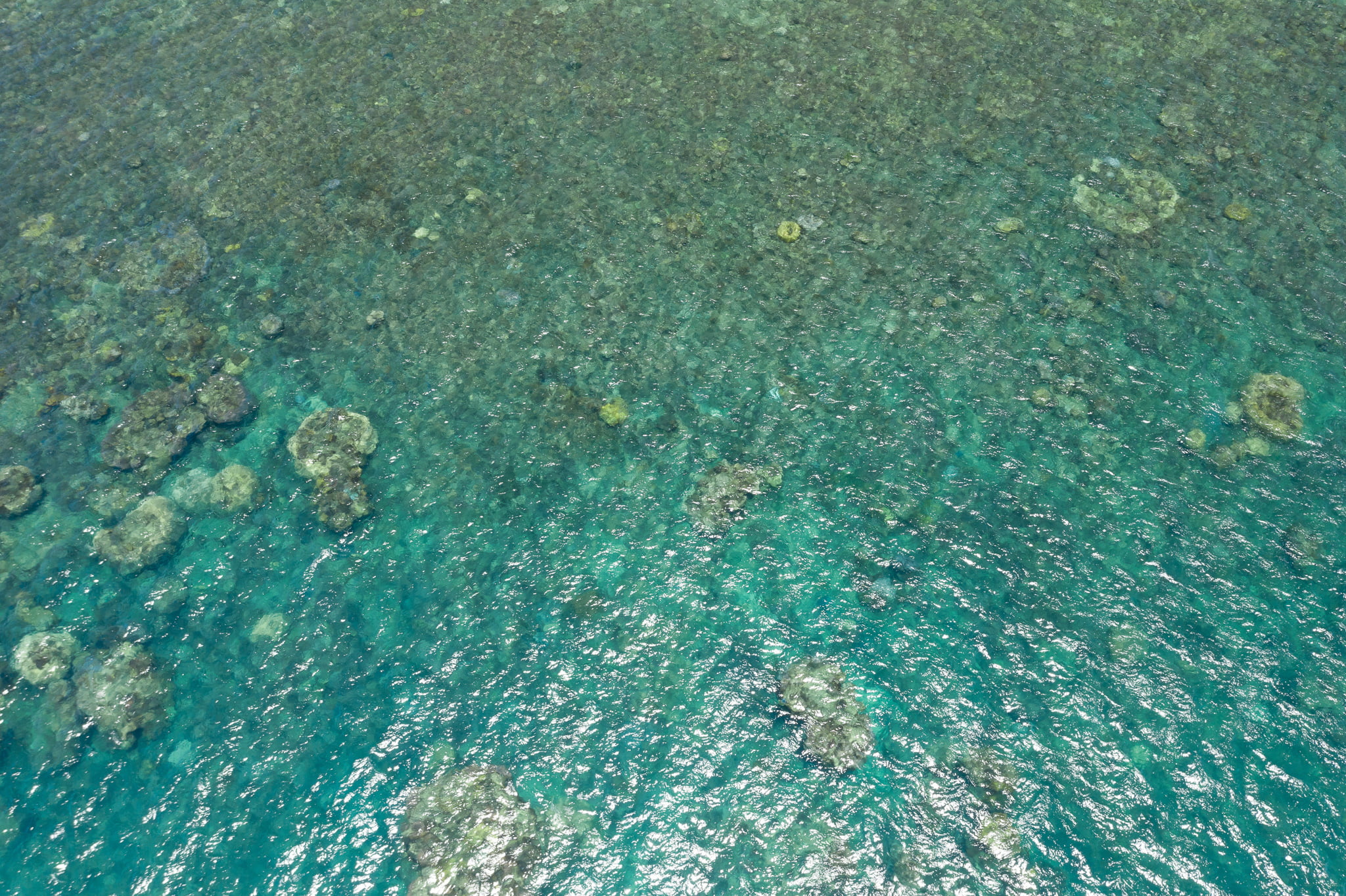 | 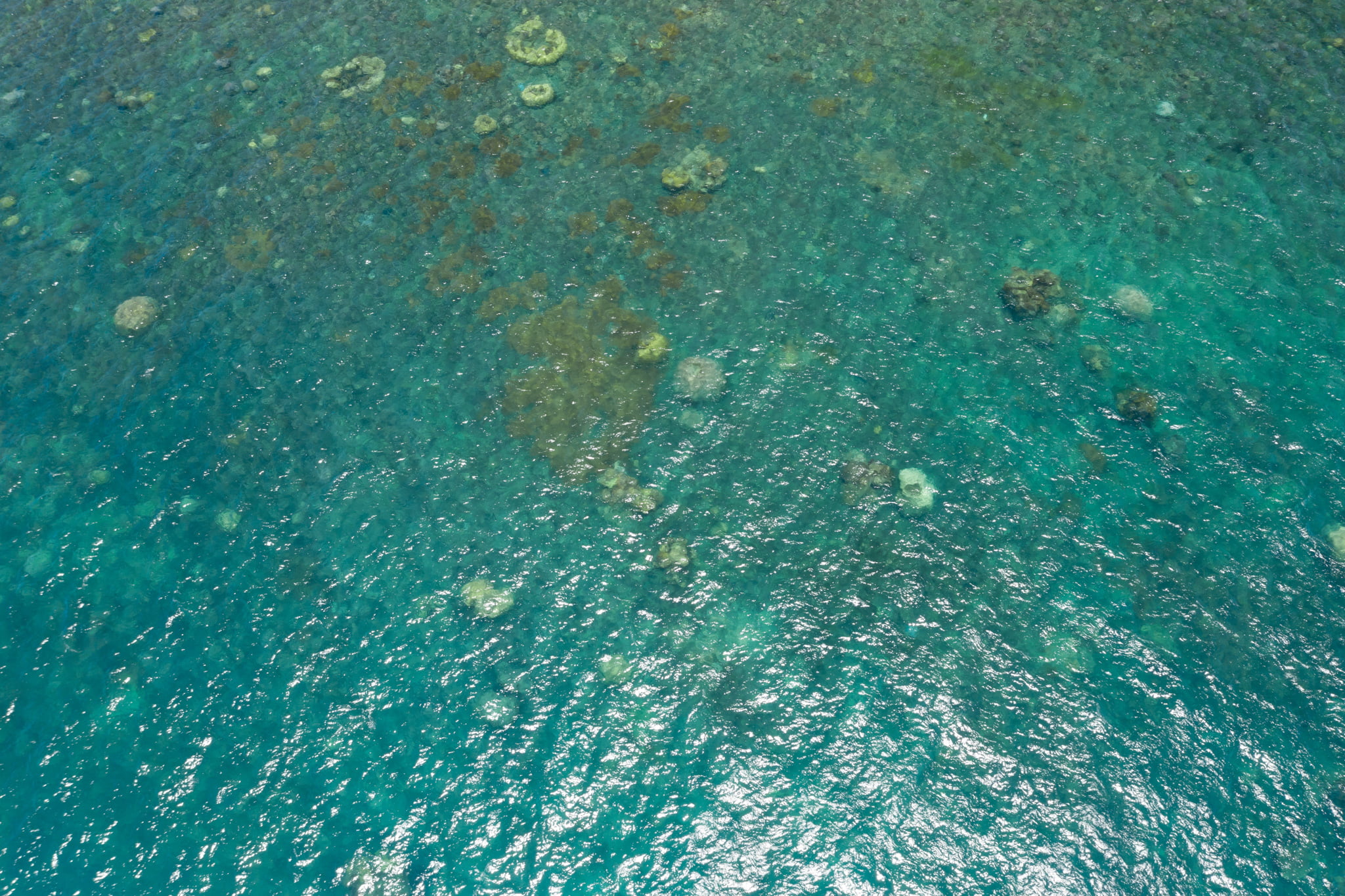 |
| +20 m | 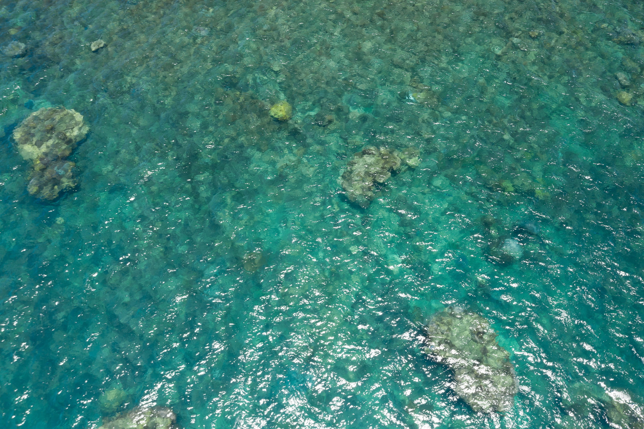 |  |
| +10 m | 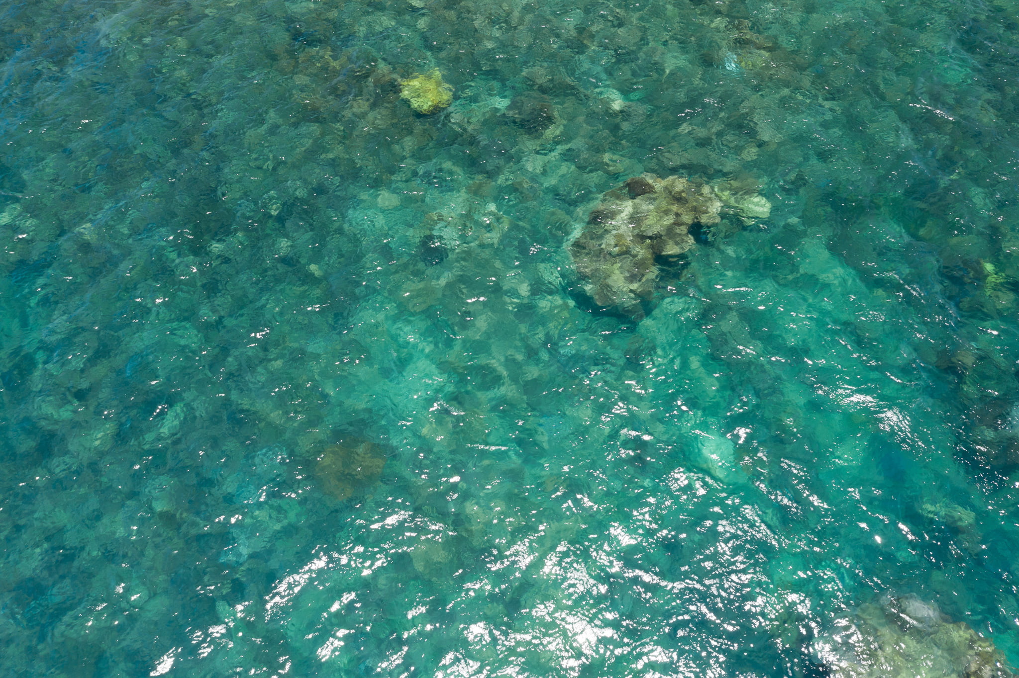 | 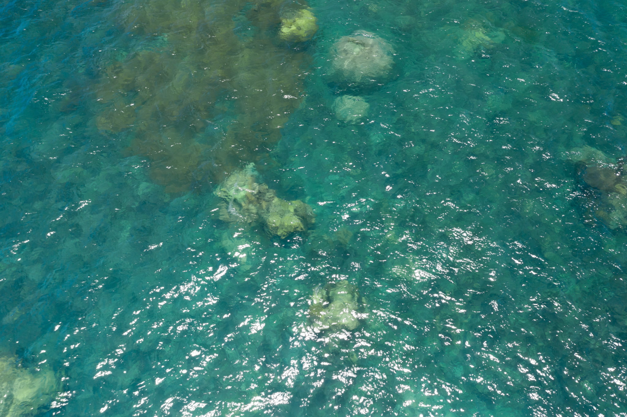 |
| +5 m | 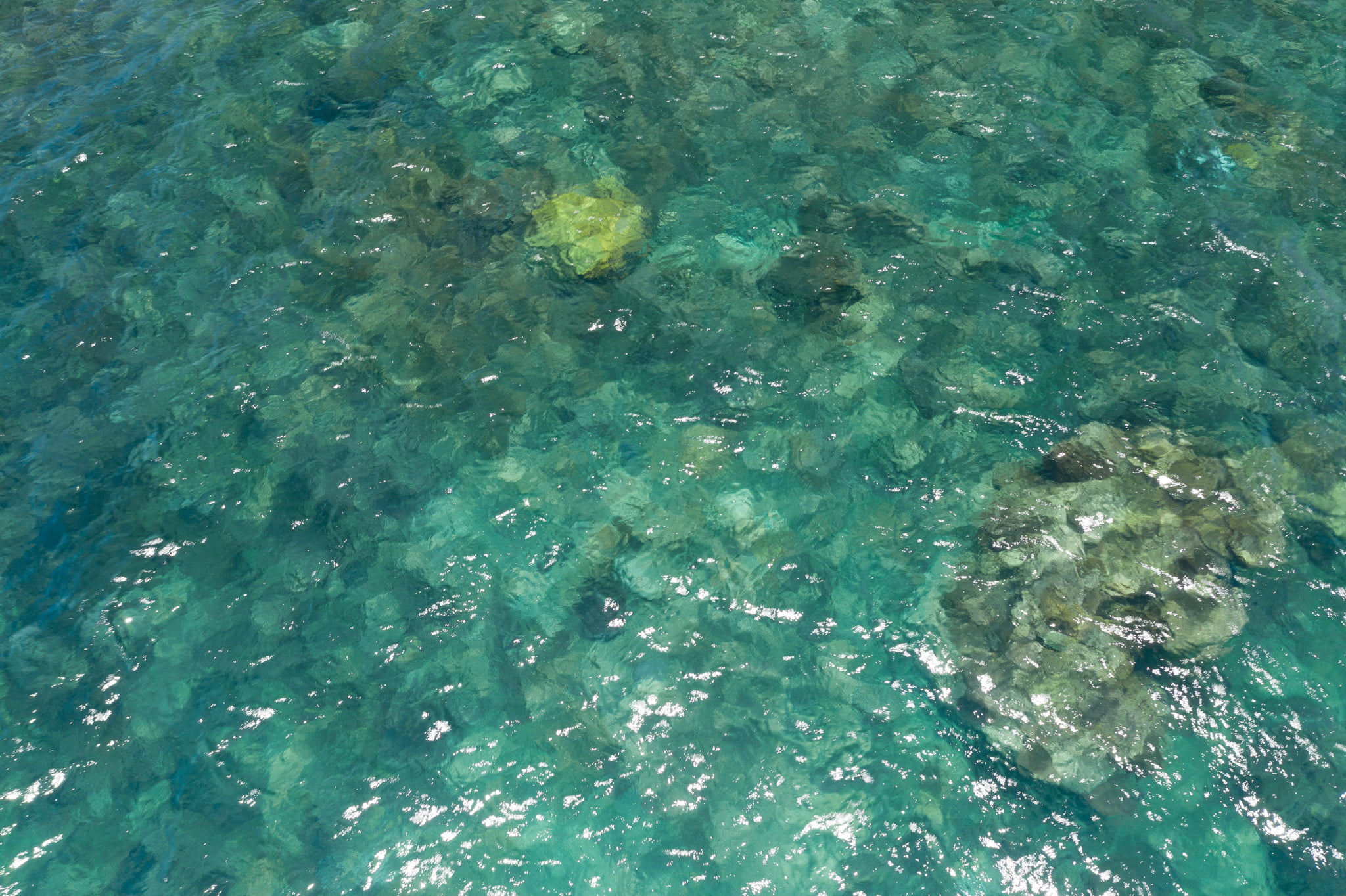 | 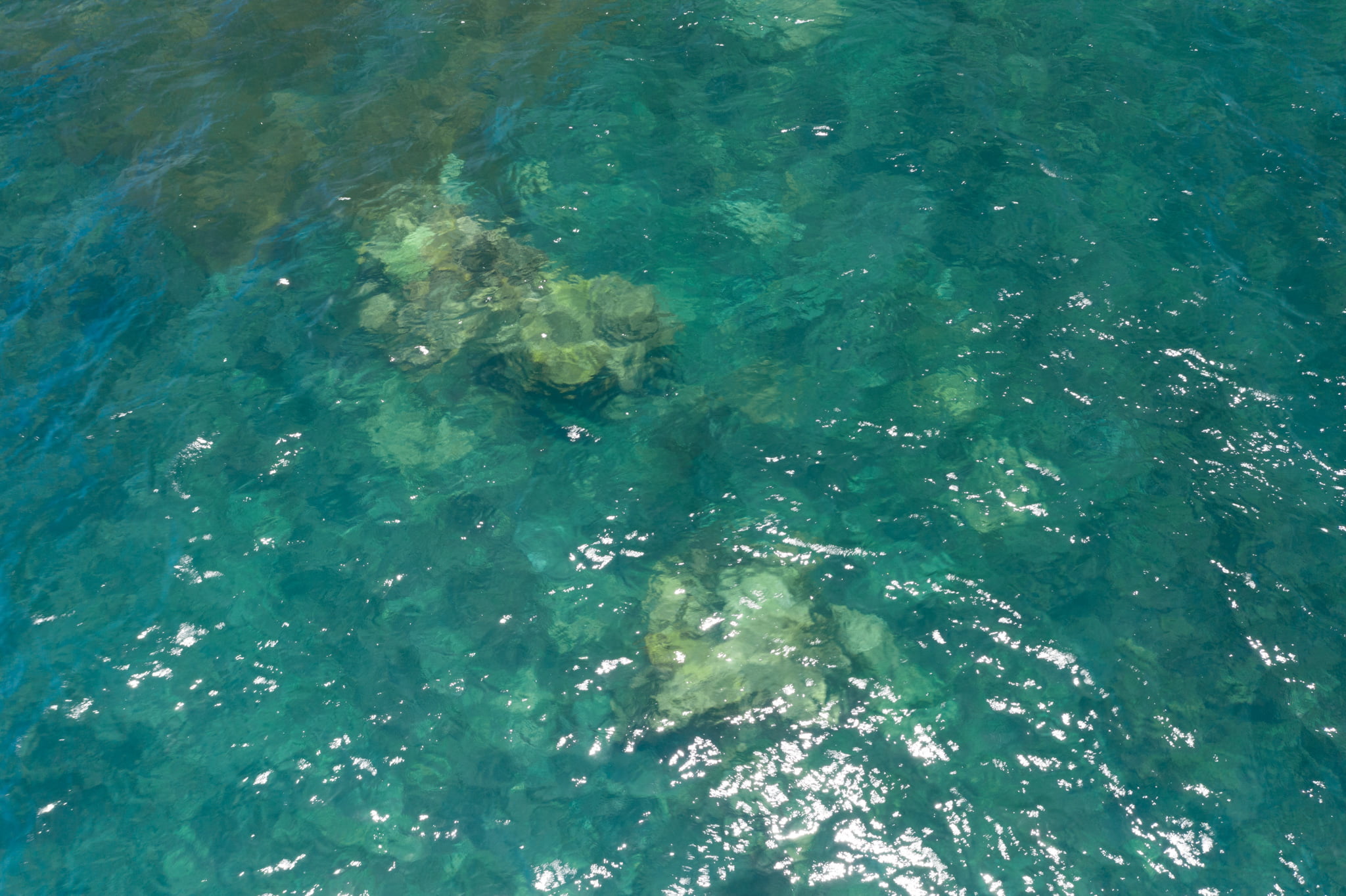 |
Table 2. Horizontal Photographic Transects at Normanby
Date: 29 Nov 2020Time: 10:55-11:21
Starting location: (° S, ° E)
Habitat:
| Depth | Rep | @1m | @2m | @3m | @4m | @5m | @6m | @7m | @8m | @9m | @10m |
|---|---|---|---|---|---|---|---|---|---|---|---|
| 2 m | 1 | ||||||||||
| 2 m | 2 | ||||||||||
| 5 m | 1 | ||||||||||
| 5 m | 2 | ||||||||||
| 5 m | 3 |
Underwater transect photographs by Shaun Frichette, drone aerials by Stuart Ireland.
 Jennifer Marohasy BSc PhD is a critical thinker with expertise in the scientific method.
