
 THIS WEBPAGE IS A DRAFT/UNDER CONSTRUCTION
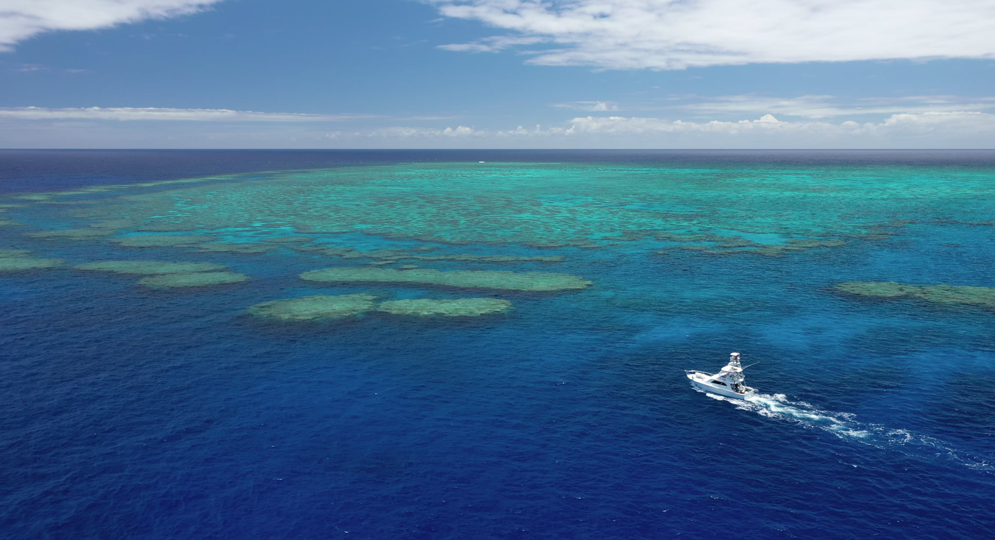
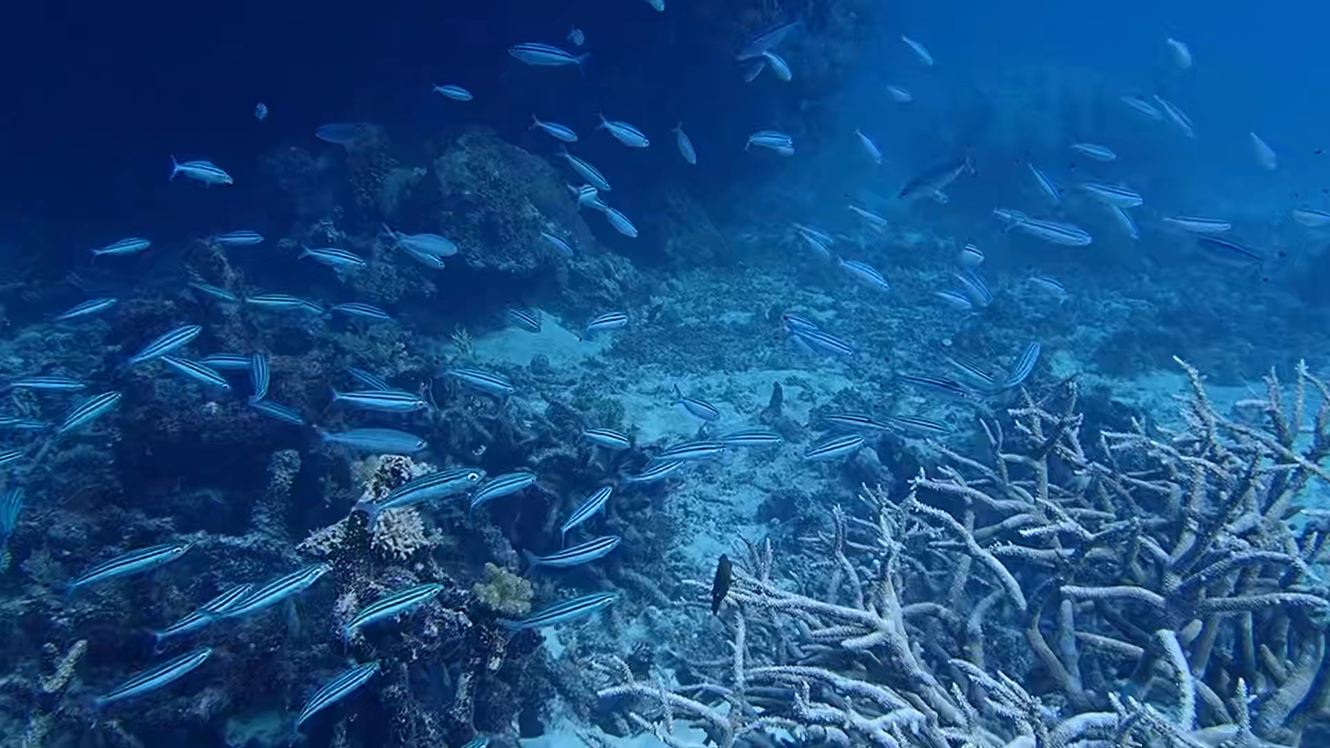
Myrmidon is an ancient and detached coral reef that juts out into the Pacific Ocean on the eastern edge of the Great Barrier Reef.
Myrmidon has been surveyed by The Australian Institute of Marine Science (AIMS) since 1988, with results of their manta tow surveys available online. According to this assessment median reef-wide live coral cover (coral cover) remained at moderate (10 to 30%) levels up to 2005. Severe Tropical Cyclone Larry in 2006 and Severe Tropical Cyclone Yasi in 2011 both passed within about 100 km to the north of this reef, and likely contributed to the decline in coral cover between 2005 and 2011 to a low level (0 to 10%). Bleaching was observed during 2017, and again in 2020.
On 1st December we took aerial photographs from above the reef crest and also the back lagoon, as shown in Table 1.
Table 1. Scale Profile, Myrmidon Reef
The position is relative to sea level at the time the photograph was taken in metres, so +120 metres is this height above the coral reef, and -1 metres (to be added) is a photograph taken at this depth below the water.| Position | @Crest | @Back Lagoon |
|---|---|---|
| Date | 1 Dec 2020 | 1 Dec 2020 |
| Time | 15:25 | 15:34 |
| Latitude | 18.269026° S | 18.261715° S |
| Longitude | 147.381023° E | 147.378954° E |
| Google Earth |  |  |
| +120 m Legal drone limit |  | 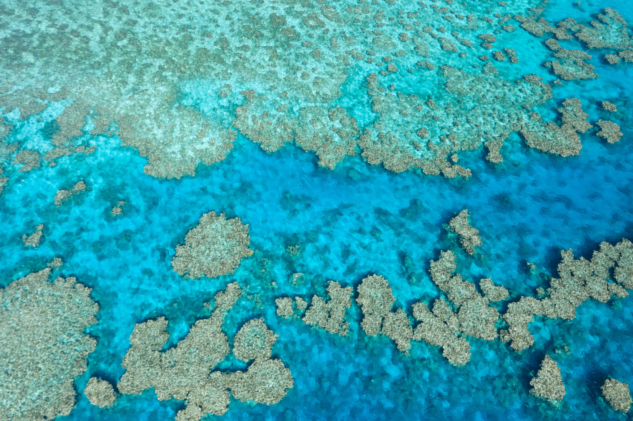 |
| +40 m | 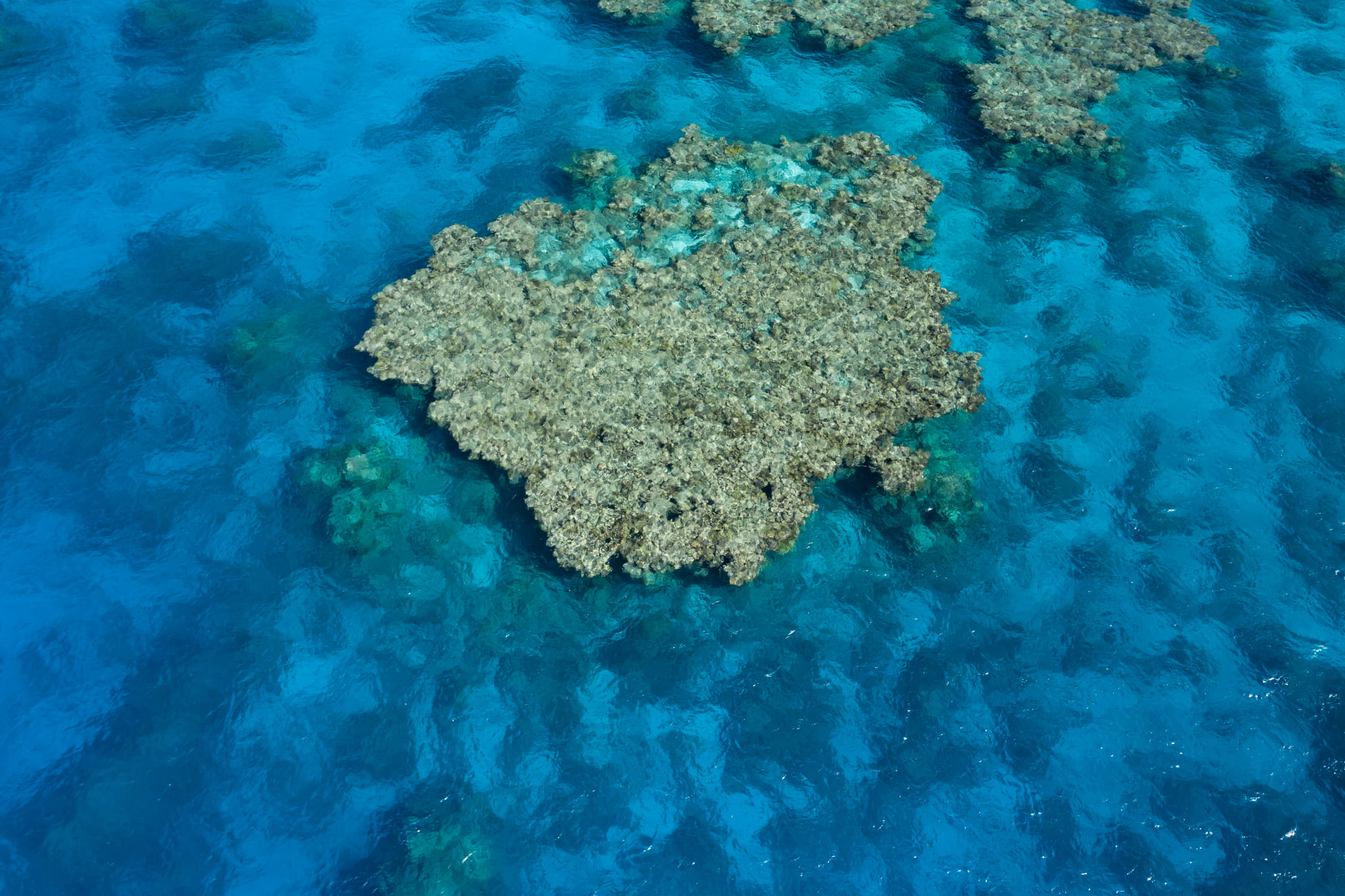 | 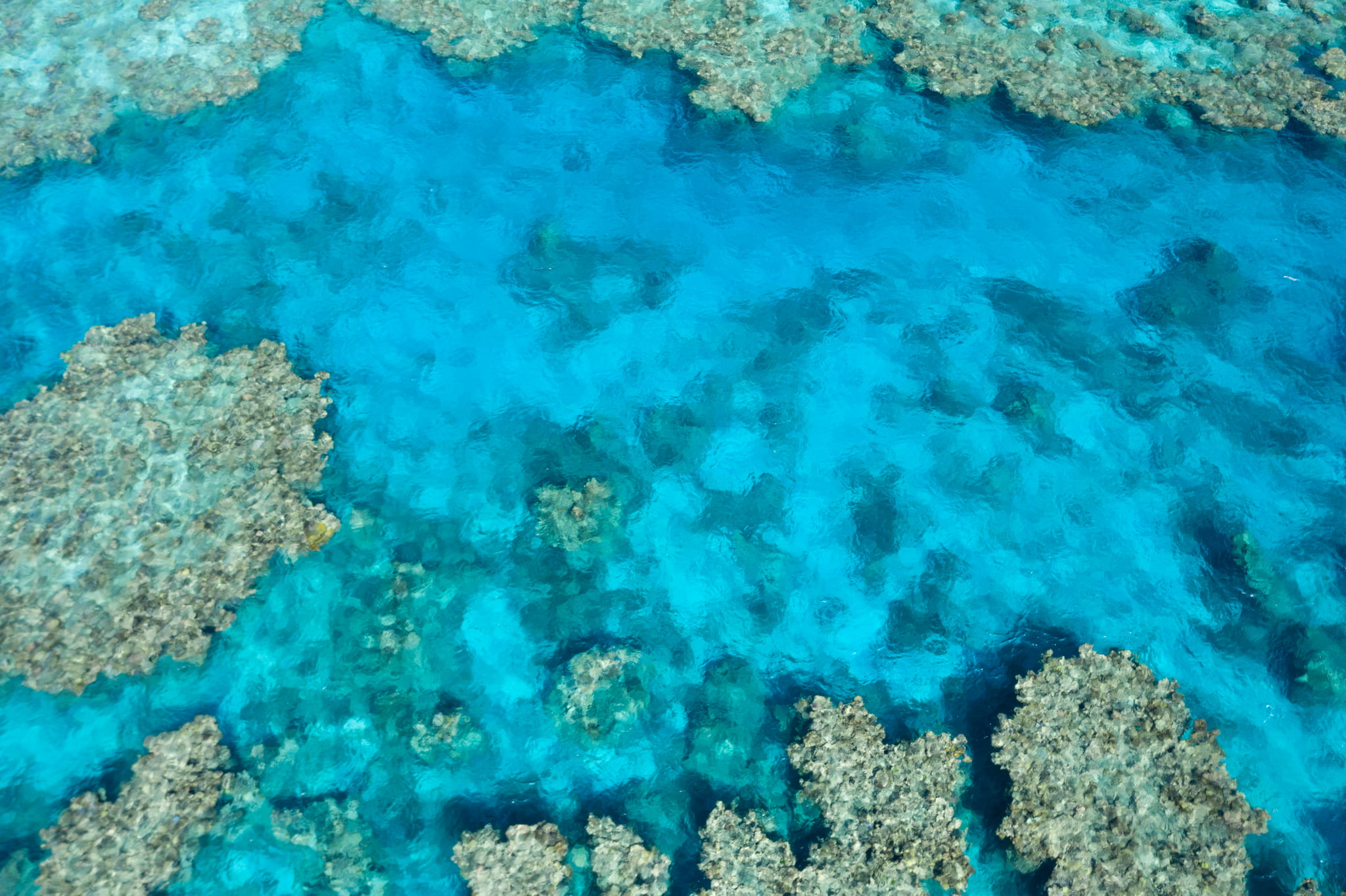 |
| +20 m | 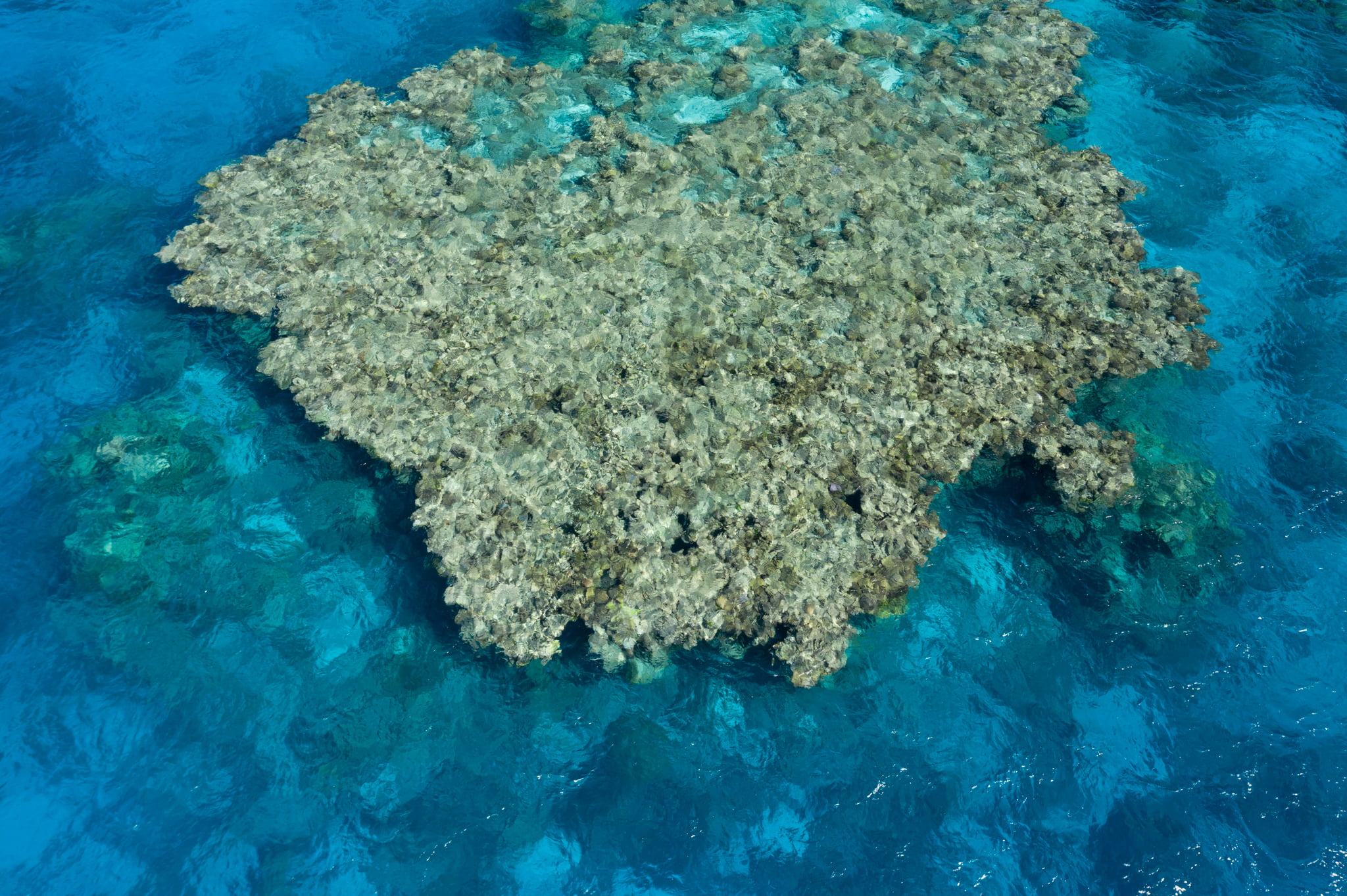 |  |
| +10 m | 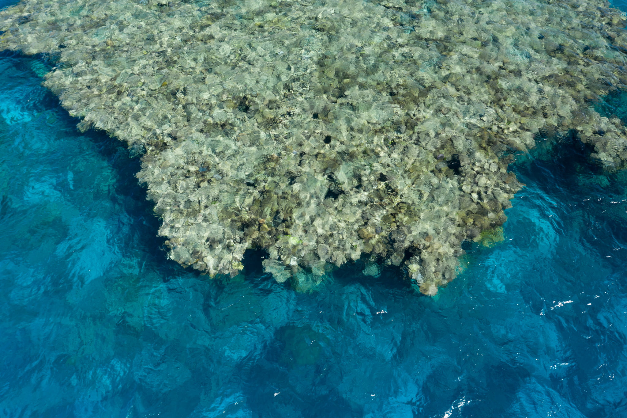 | 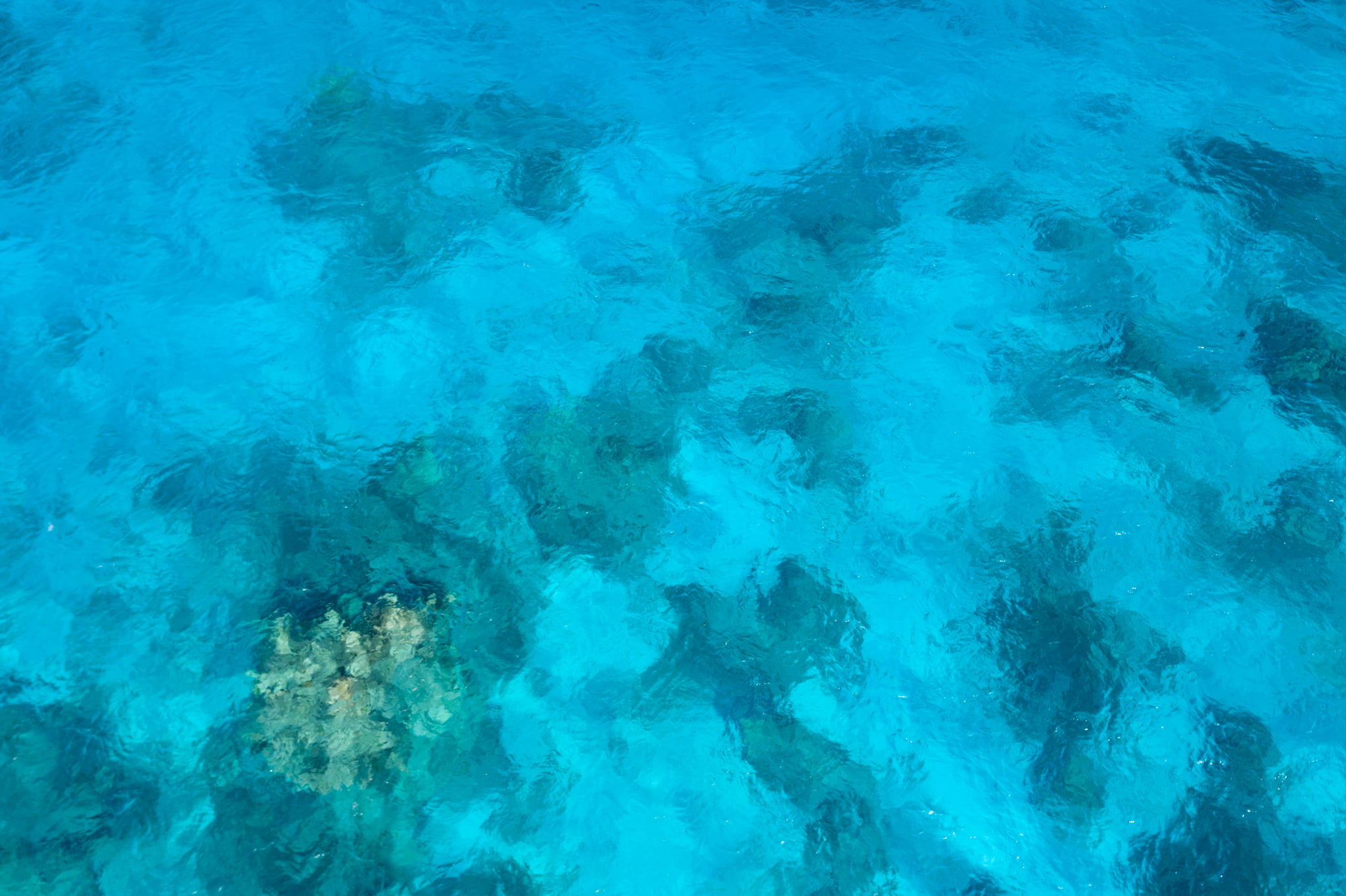 |
| +5 m | 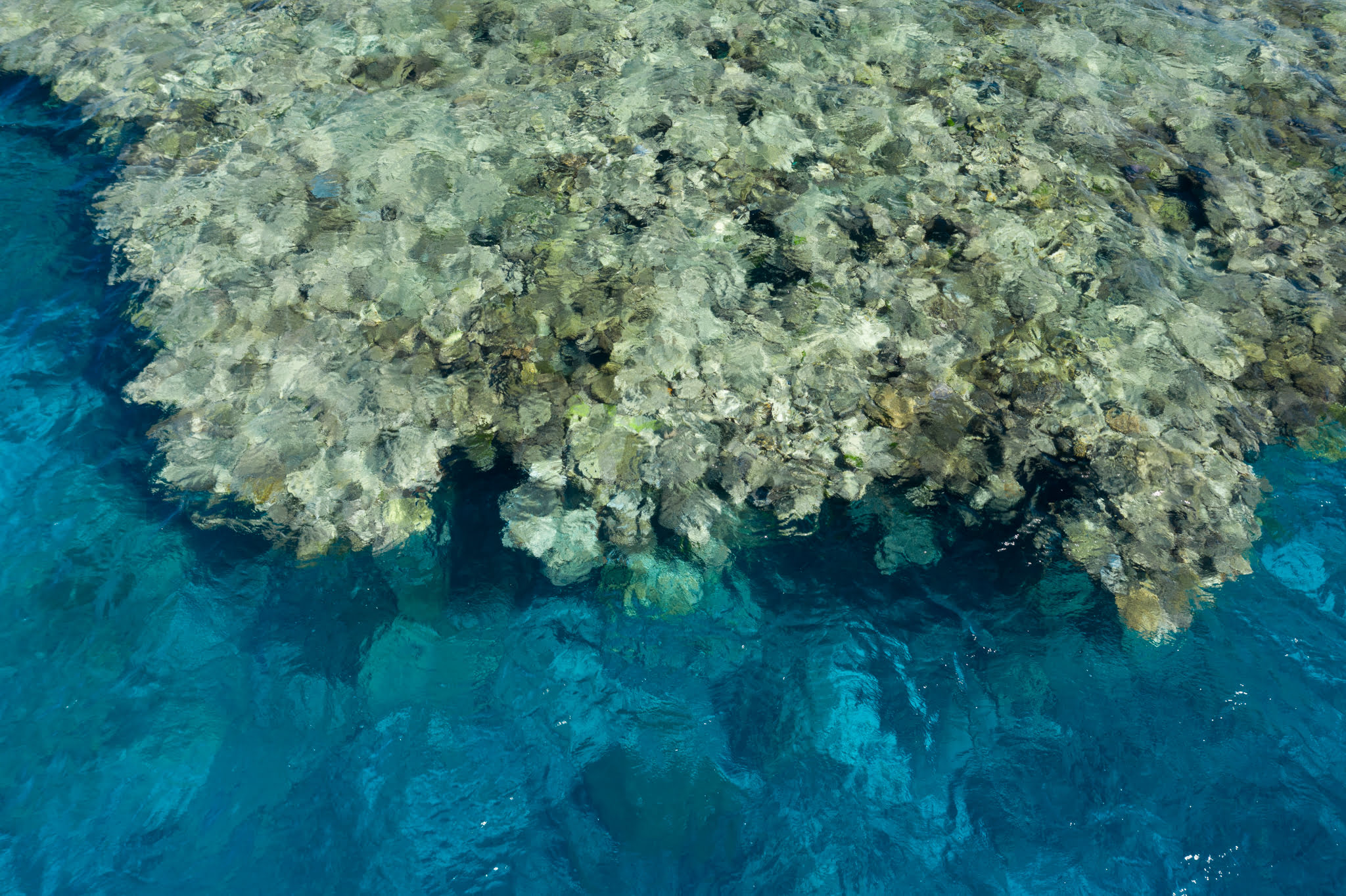 | n/a |
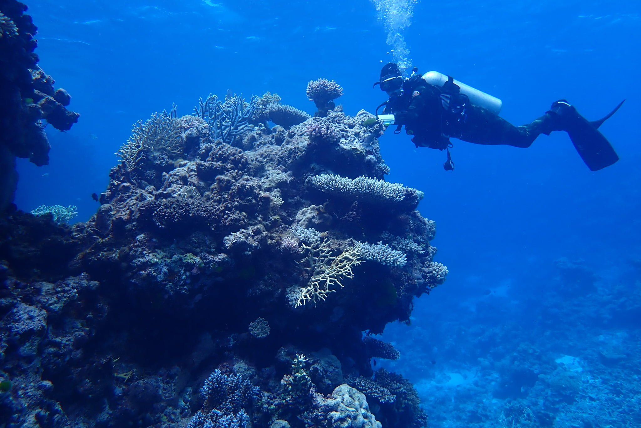
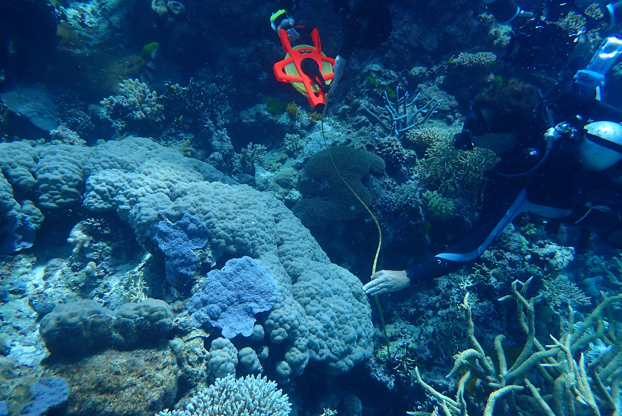
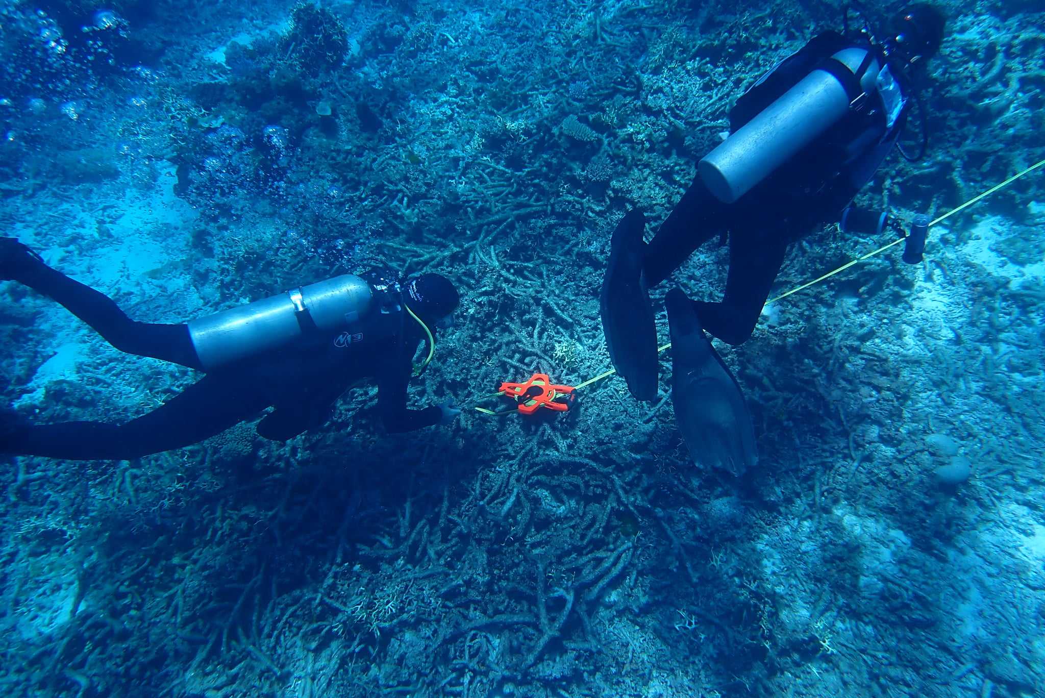
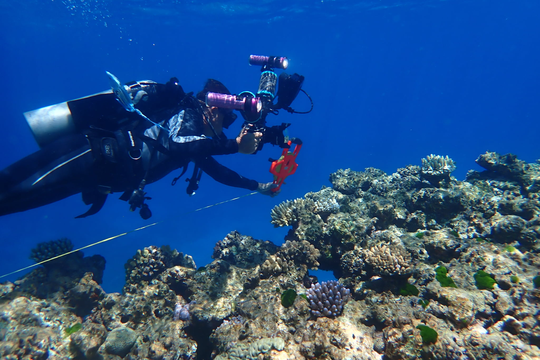
We also laid transects in a canyon, and at the nearby reef crest. I will be uploading video of the transects in due course.
Table 2. Horizontal Photographic Transects at Crest, Myrmidon
These photographs were taken along a 10-metre belt-transect laid with a tape measure following the reef contour.Date: 1 Dec 2020
Time:
Habitat: Crest
| Depth | Rep | @1m | @2m | @3m | @4m | @5m | @6m | @7m | @8m | @9m | @10m |
|---|---|---|---|---|---|---|---|---|---|---|---|
| 1 m | 1 | ||||||||||
| 1 m | 2 | ||||||||||
| 1 m | 3 |
Table 3. Horizontal Transects at Canyon, Myrmidon
Date: 1 Dec 2020Time:
Starting location: (18.2633° S, 147.37845° E)
Habitat: Canyon
| Depth | Rep | @1m | @2m | @3m | @4m | @5m | @6m | @7m | @8m | @9m | @10m |
|---|---|---|---|---|---|---|---|---|---|---|---|
| 6 m | 1 | ||||||||||
| 6 m | 2 | ||||||||||
| 6 m | 3 |
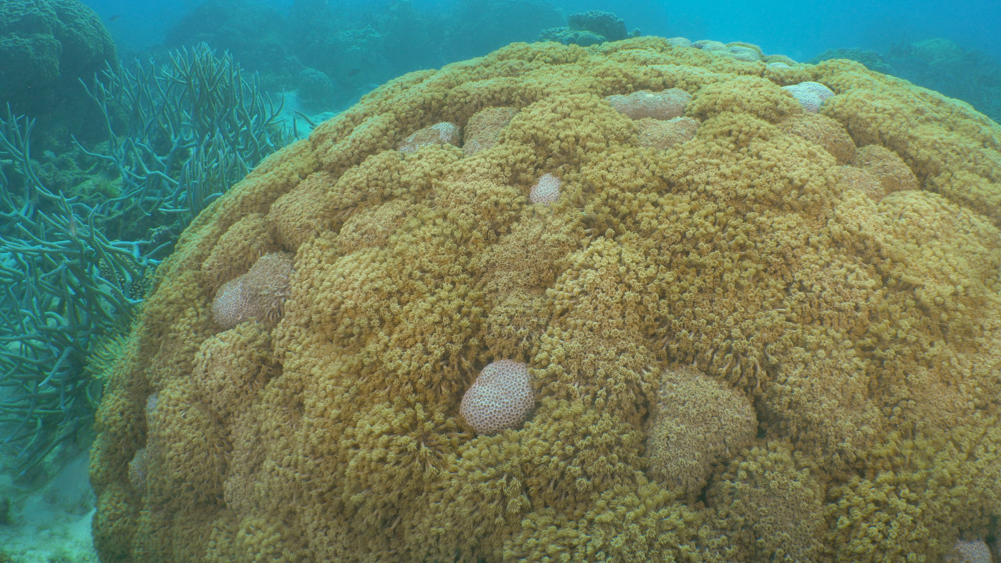
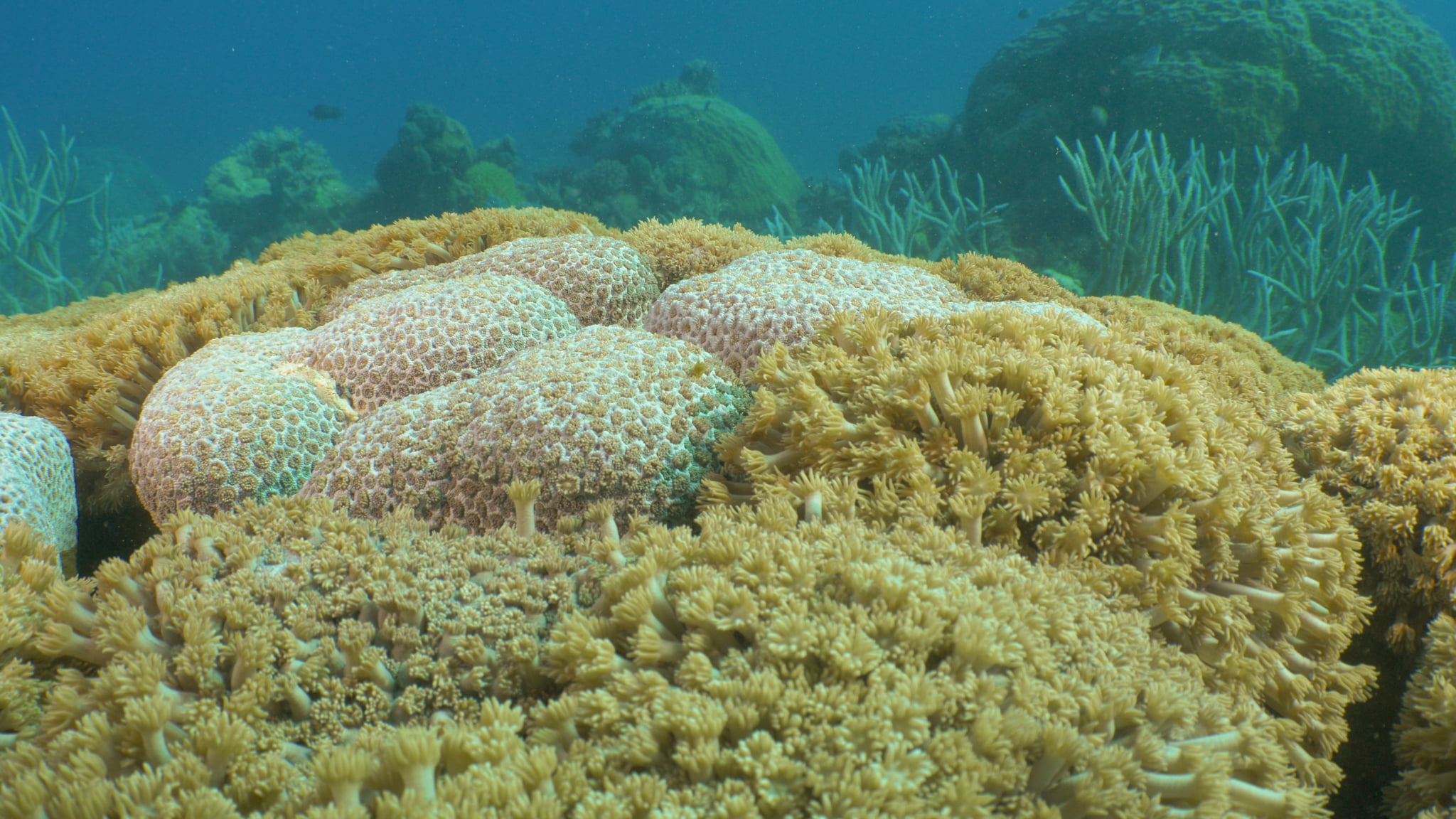
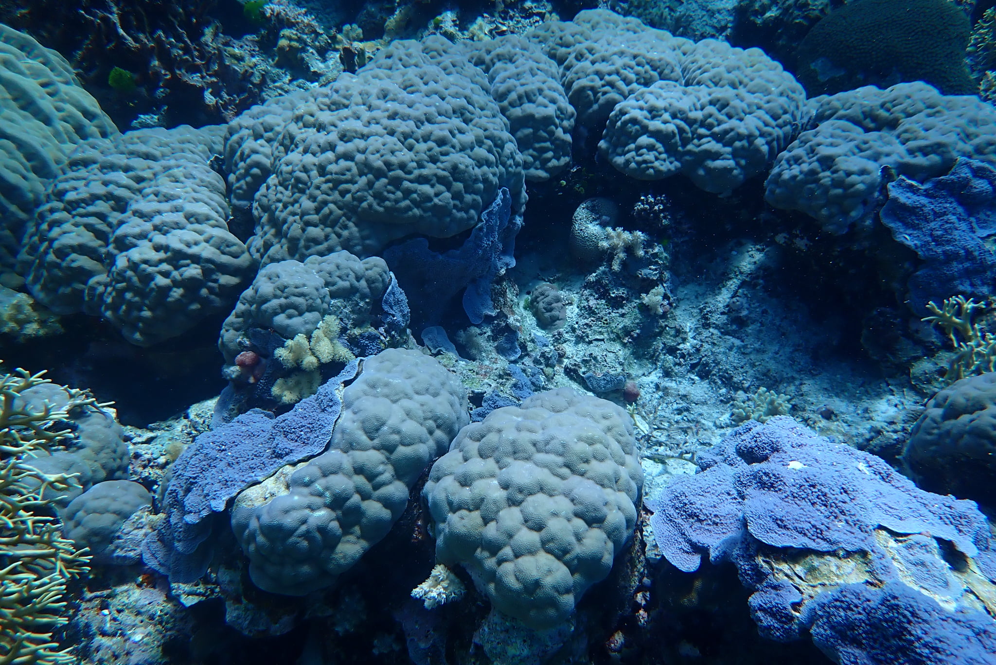
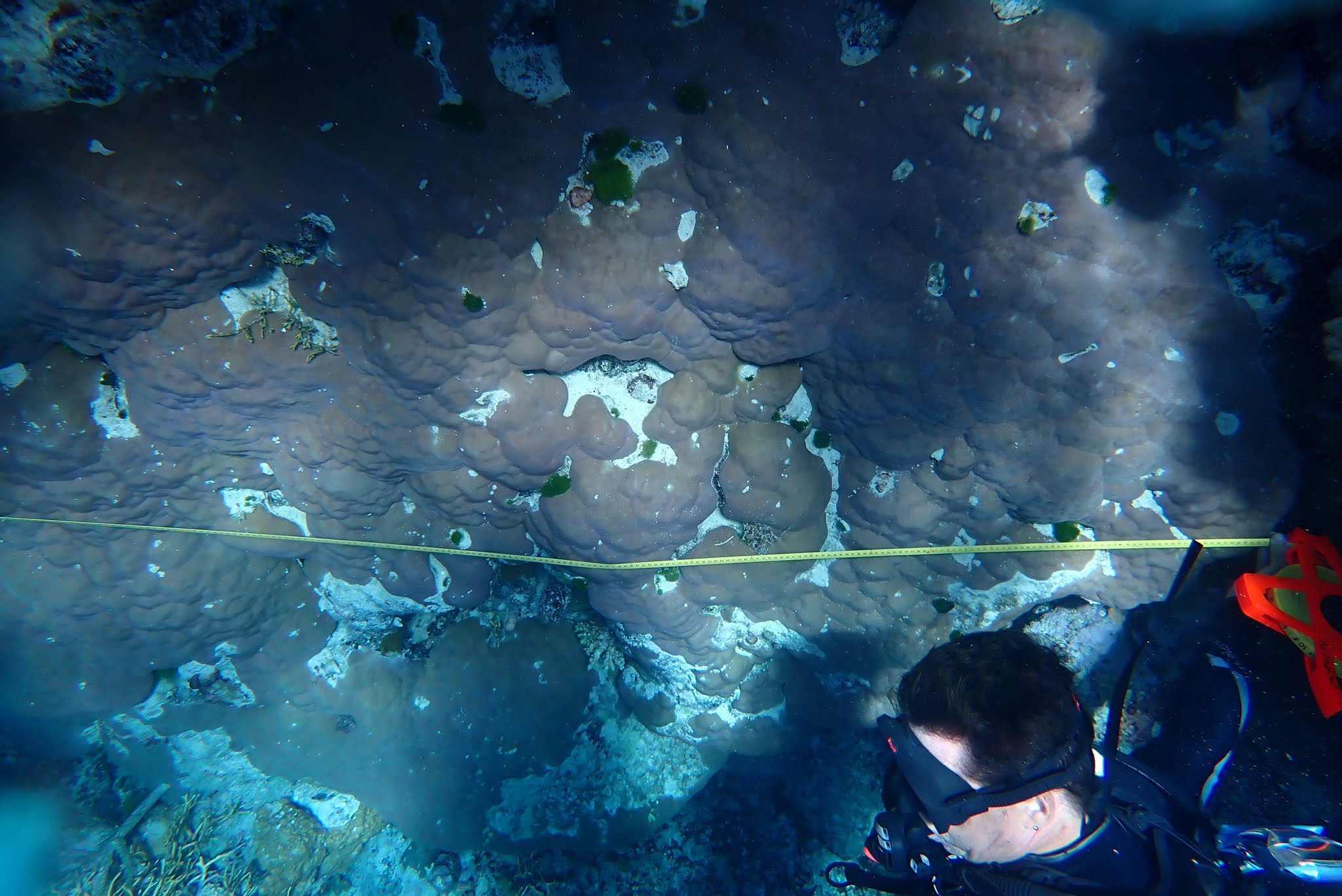
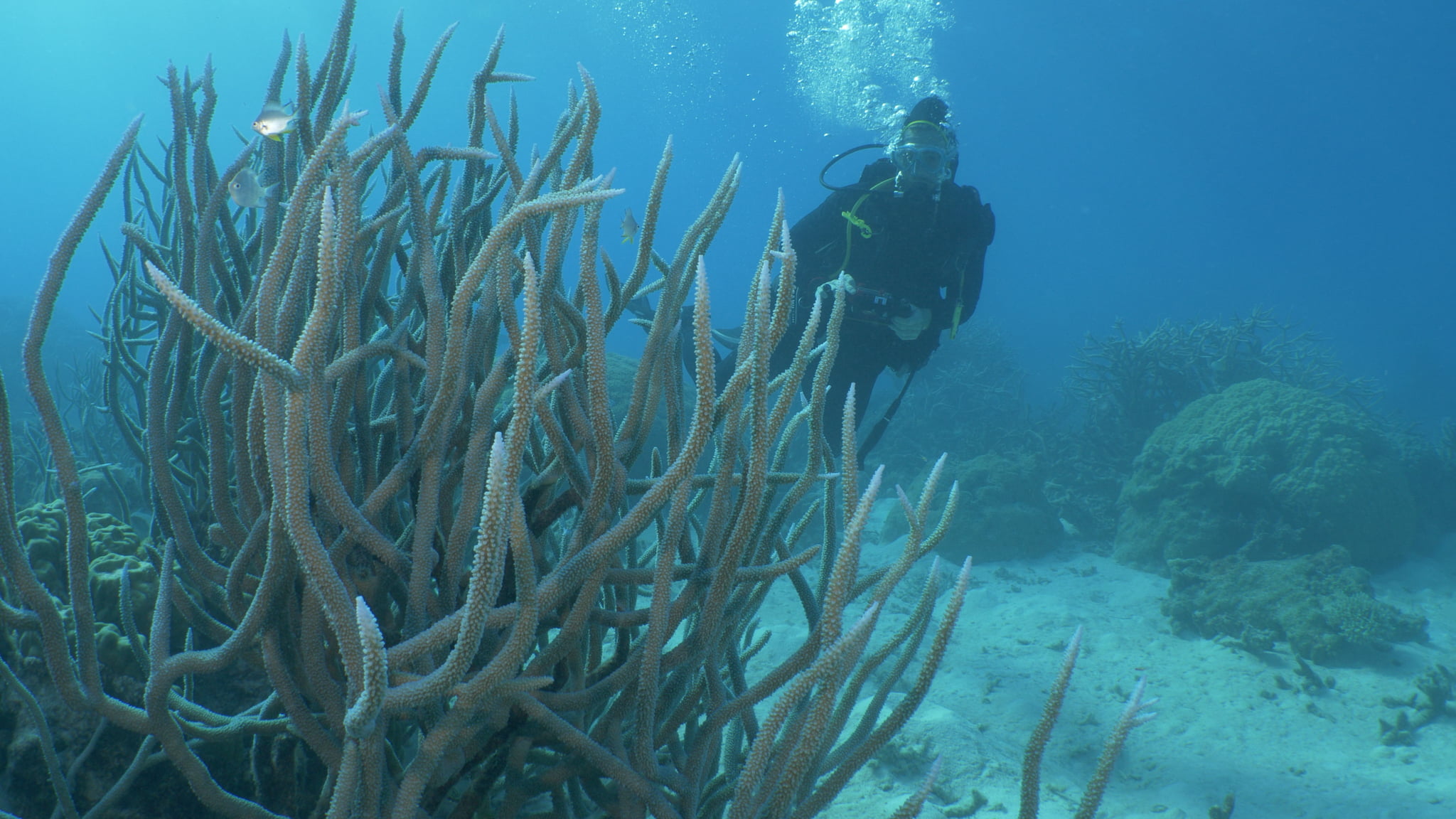
Towards the south west we discovered a garden of massive Porites, but I ran out of air before we had the opportunity to run transects. If we had run them over the Porites we could have recorded 100% coral cover, and all Porites.
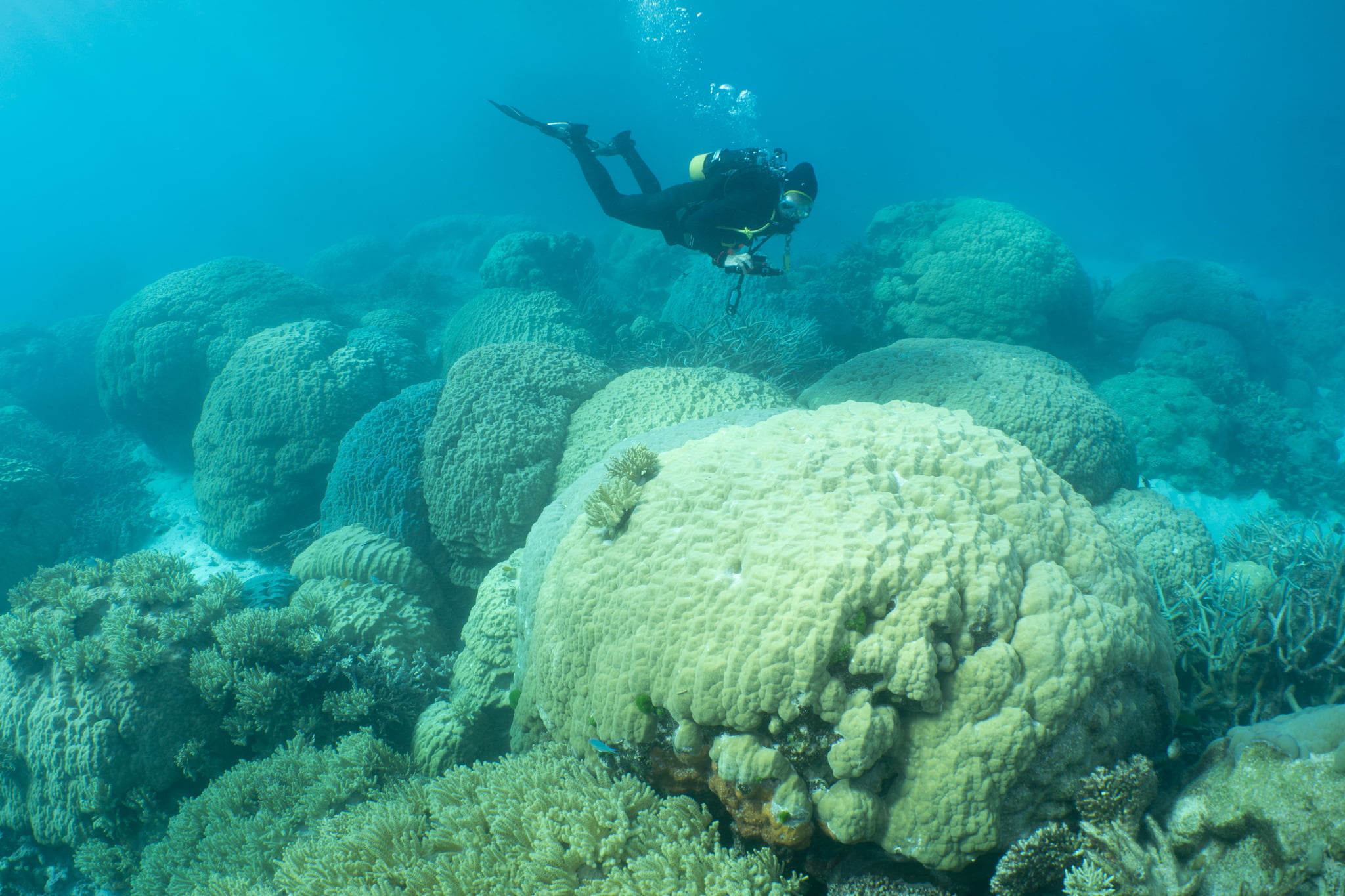
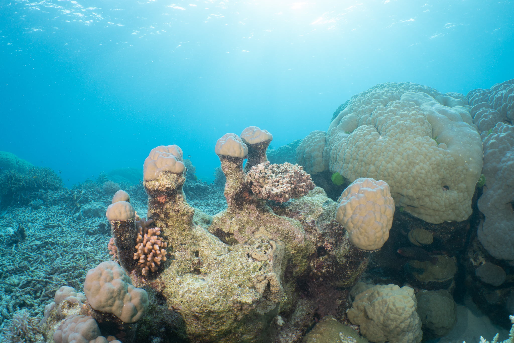
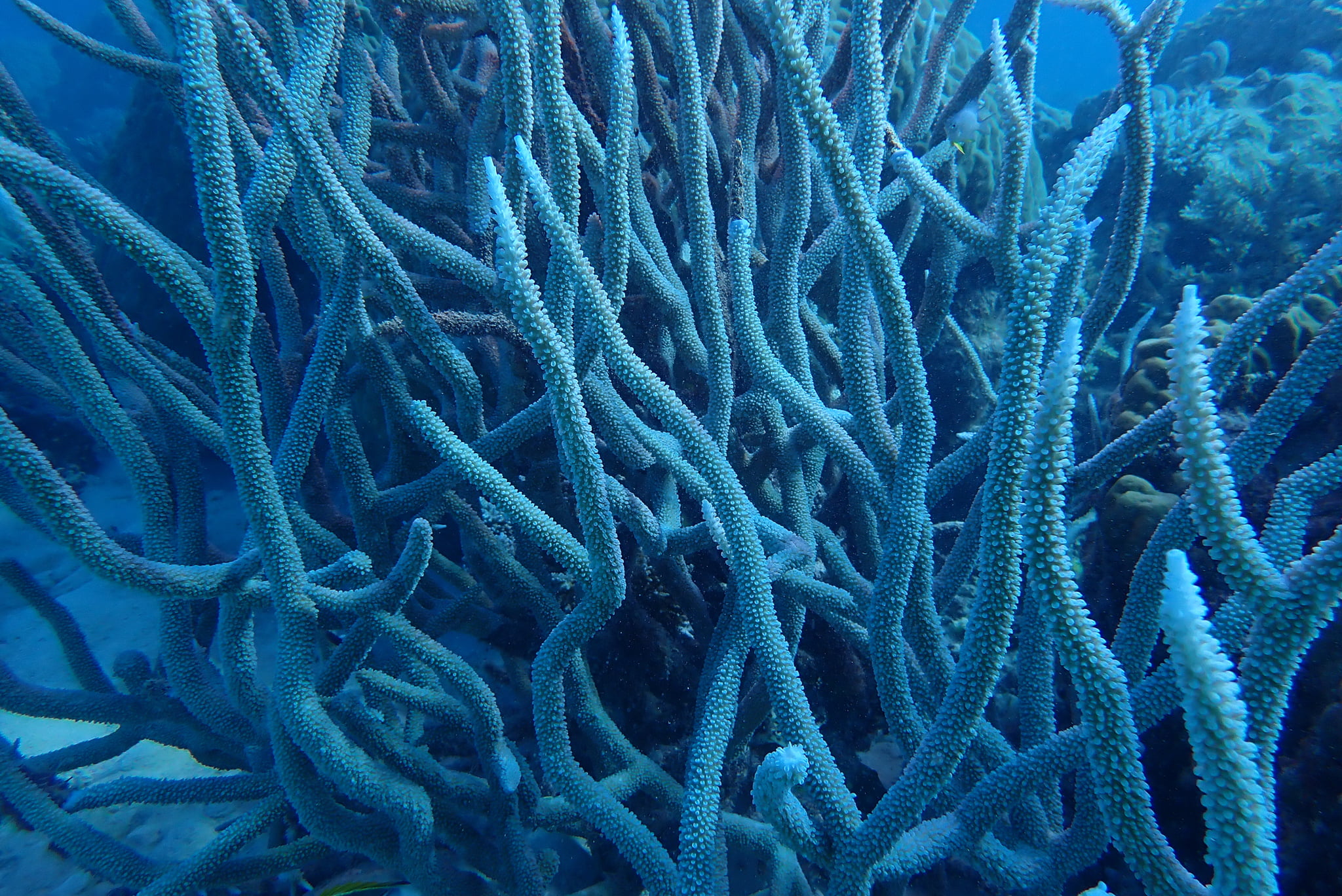
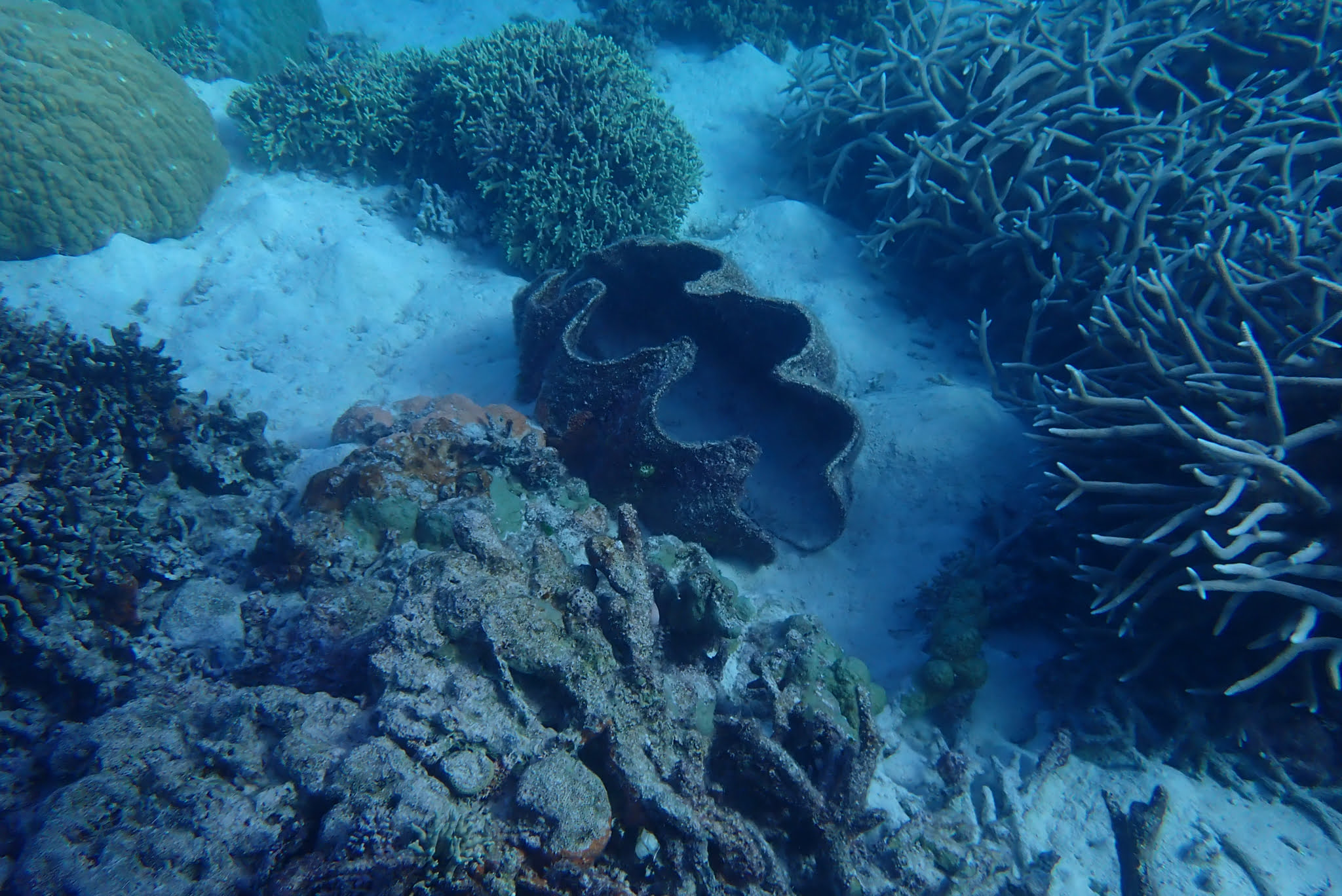
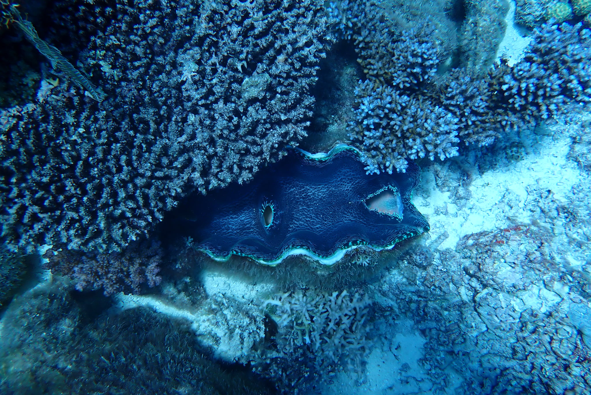
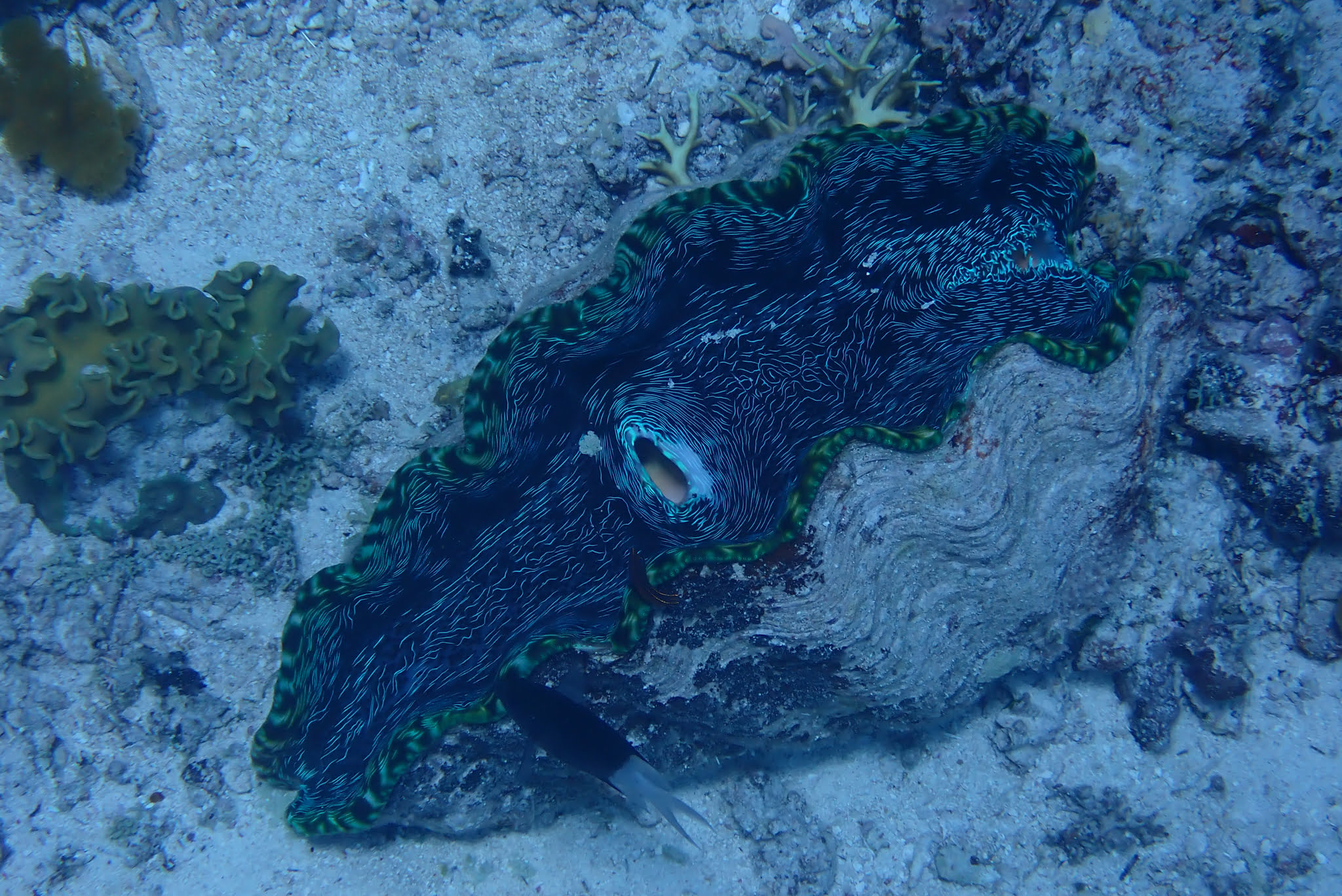
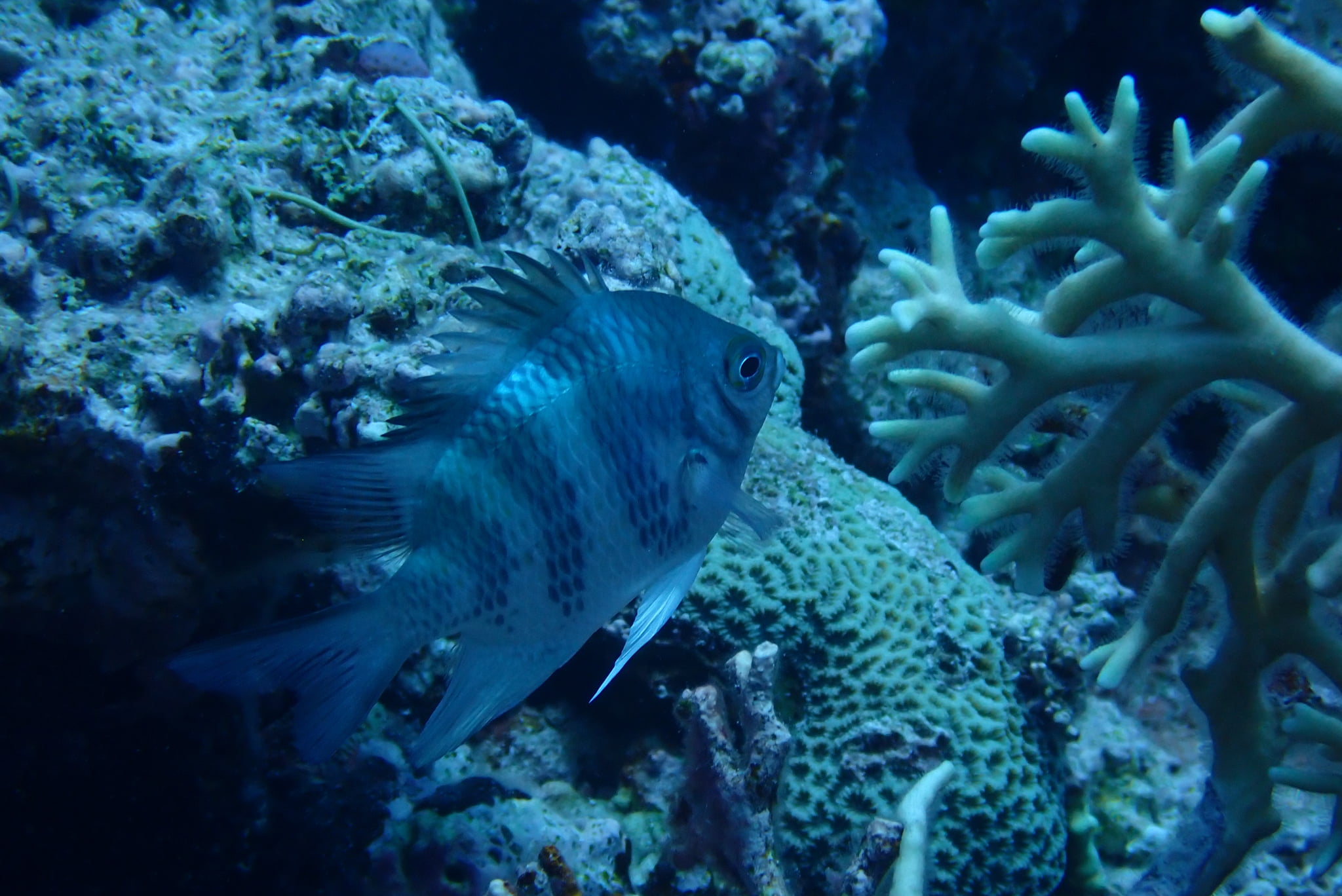
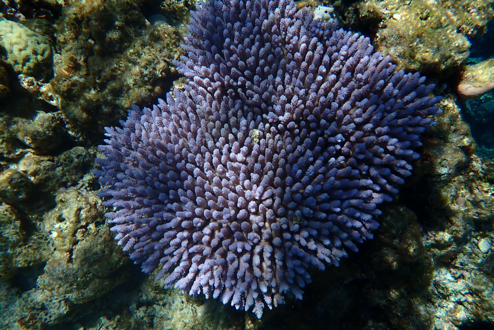
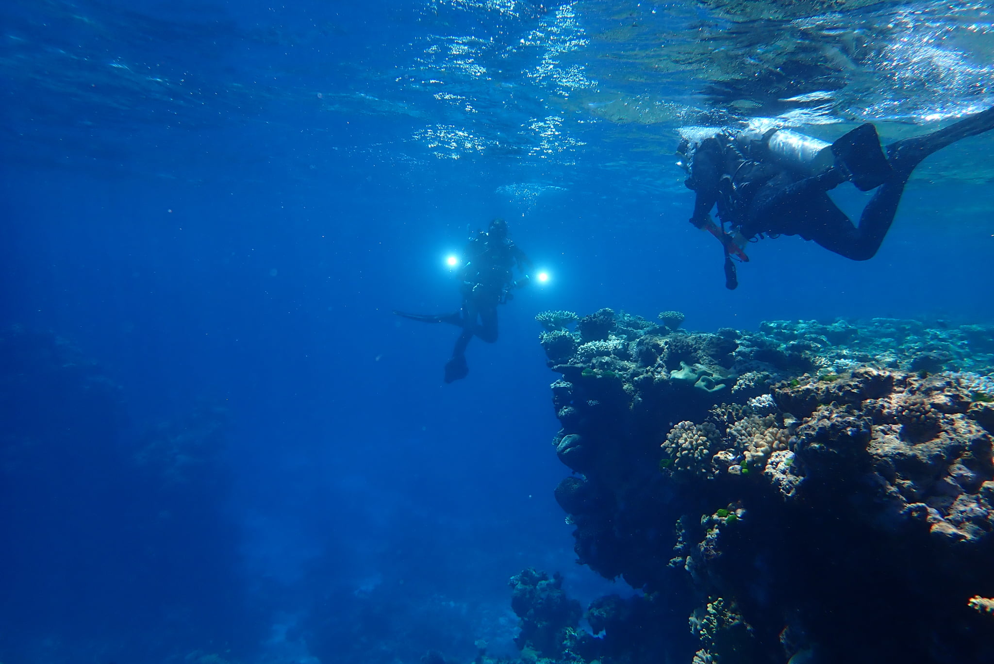
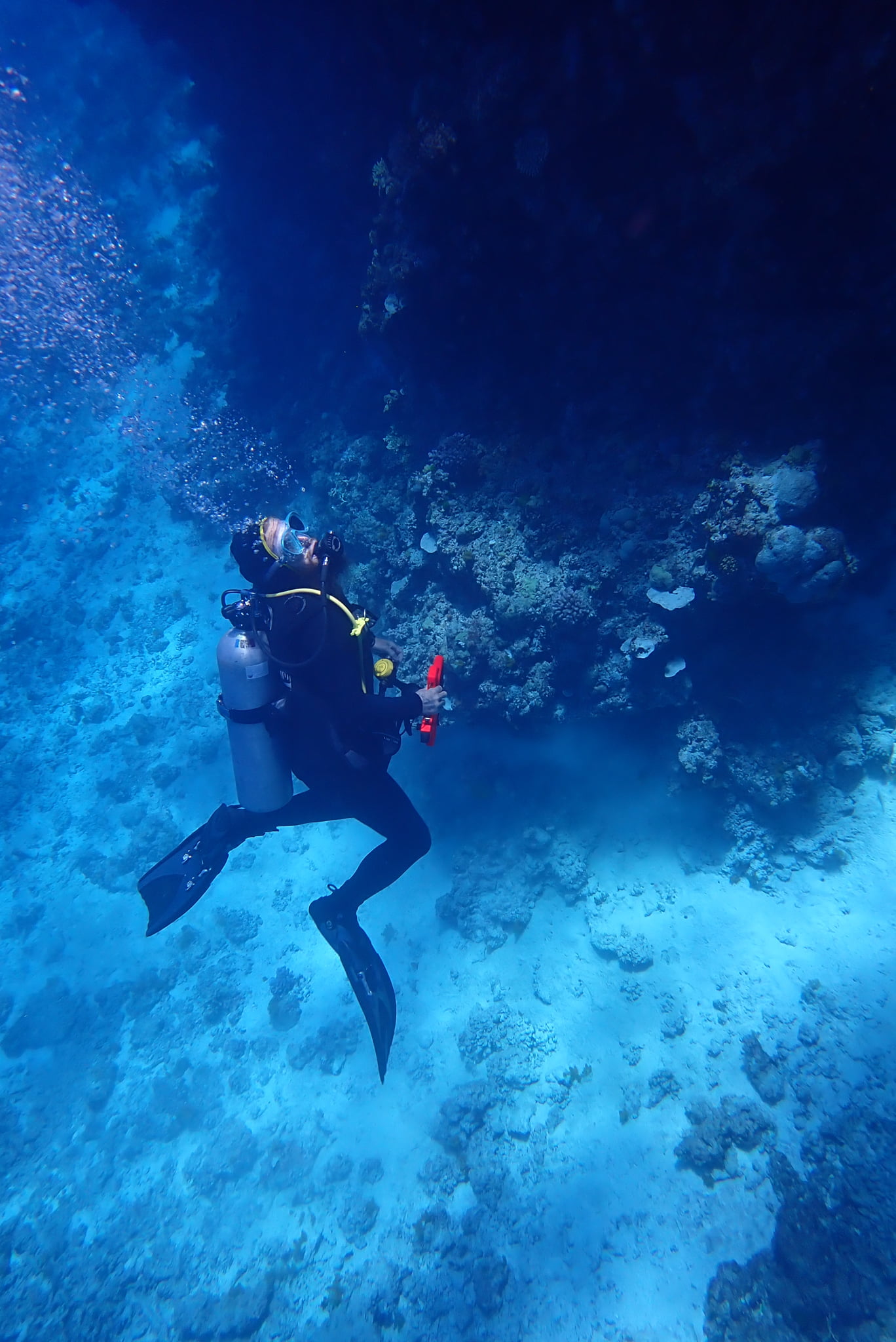
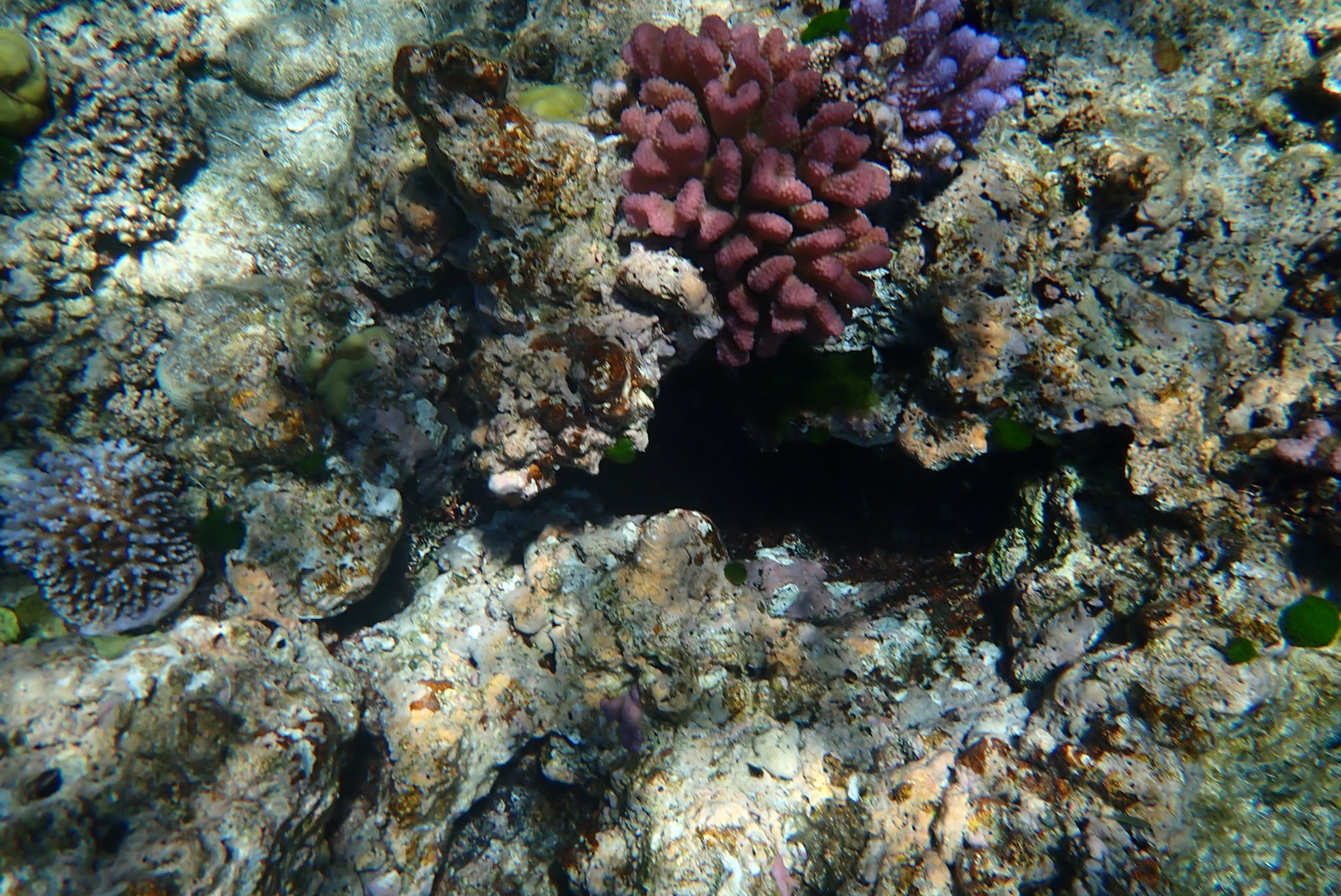
Table 4. General Reef Photographs
 |  |  |
 |  |  |
 |  |  |
 |  |  |
 |  |  |
 |  |  |
 |  |  |
 |  |  |
 Jennifer Marohasy BSc PhD is a critical thinker with expertise in the scientific method.
