
 THIS WEBPAGE IS A DRAFT/UNDER CONSTRUCTION
High Island is just to the south of Cairns, not far from the mouth of the Russell and Mulgrave rivers that drains a large catchment with sugarcane farms.
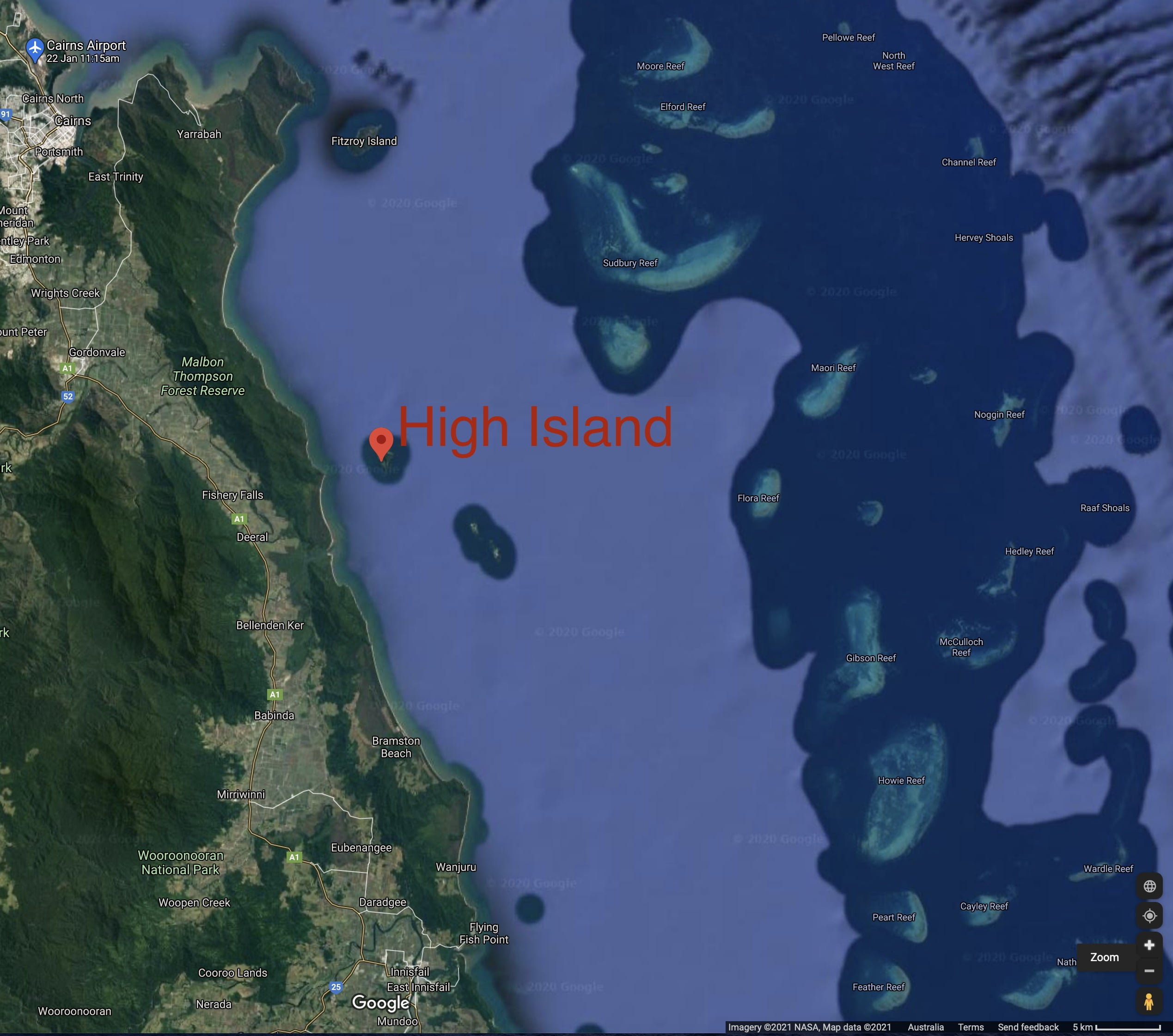
High Island has a very broad and long reef crest facing to the south west.
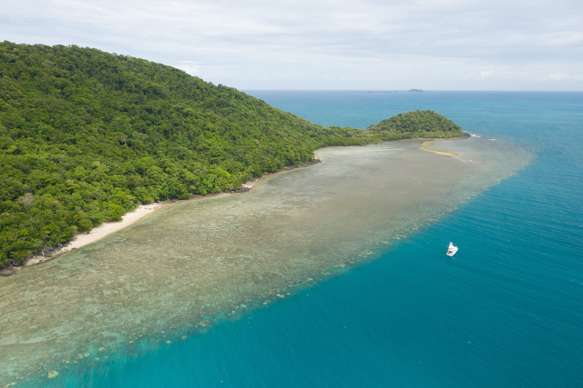
Massive Porites spp. corals dominate at this reef, particularly along the seaward edge that is prograding, which means that it is advancing towards the sea. The reef edge is where the corals grow down from the shallow reef crest along the reef slope to the sea floor. Many of the massive Porites spp. on the reef edge are of a relatively uniform height, because their vertical growth is constrained by sea level.
Photographs were taken from a drone at 5, 10, 20, 40 and 120 metres altitude above the reef slope and also from above the reef crest, as shown in Table 1. These photographs (click not the thumbnails for a larger view) are useful for distinguishing individual microatolls at the reef crest and for habitat demarcation: for distinguishing the reef crest from the reef slope.
Table 1. Scale Profile, High Island Reef
The position is relative to sea level at the time the photograph was taken in metres, so +120 metres is this height above the coral reef, and -1 metres is a photograph taken at this depth below the water.| Position | @Crest | @Slope |
|---|---|---|
| Date | 28 Nov 2020 | 28 Nov 2020 |
| Time | 16:49 | 17:00 |
| Latitude | 17.160757° S | 17.159437° S |
| Longitude | 146.007156° E | 146.00510° E |
| Google Earth |  |  |
| +120 m Legal drone limit | 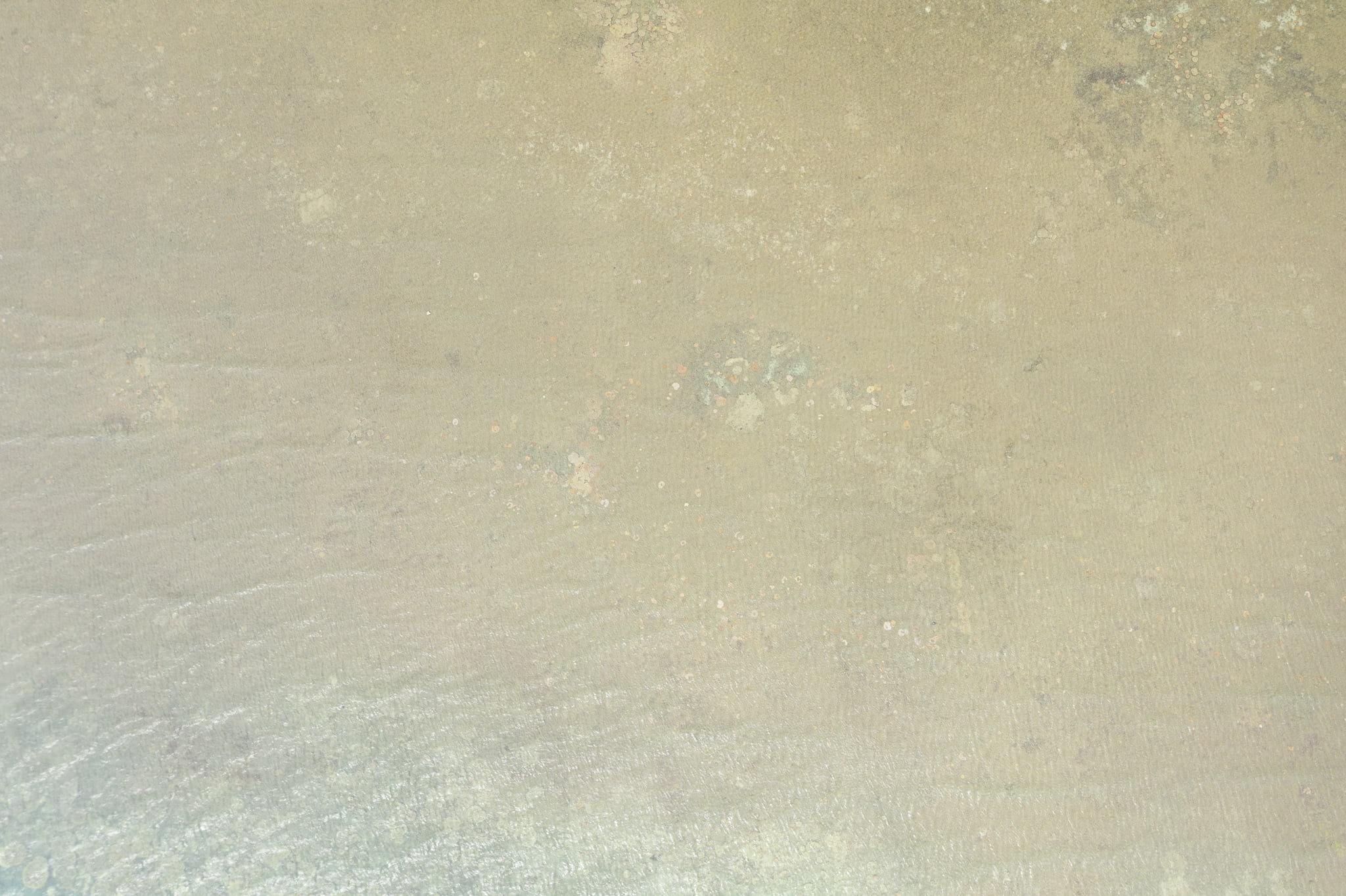 | 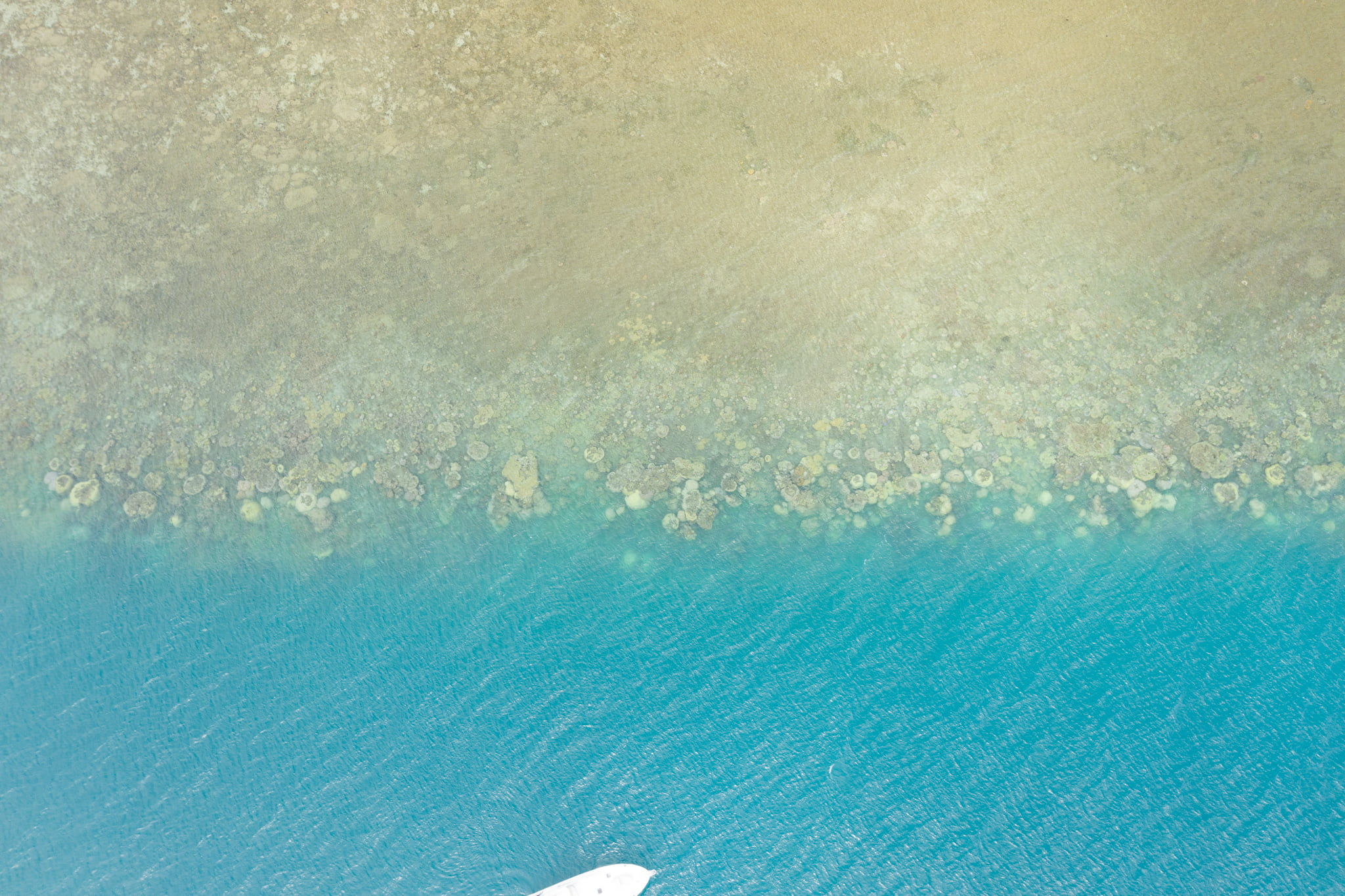 |
| +40 m | 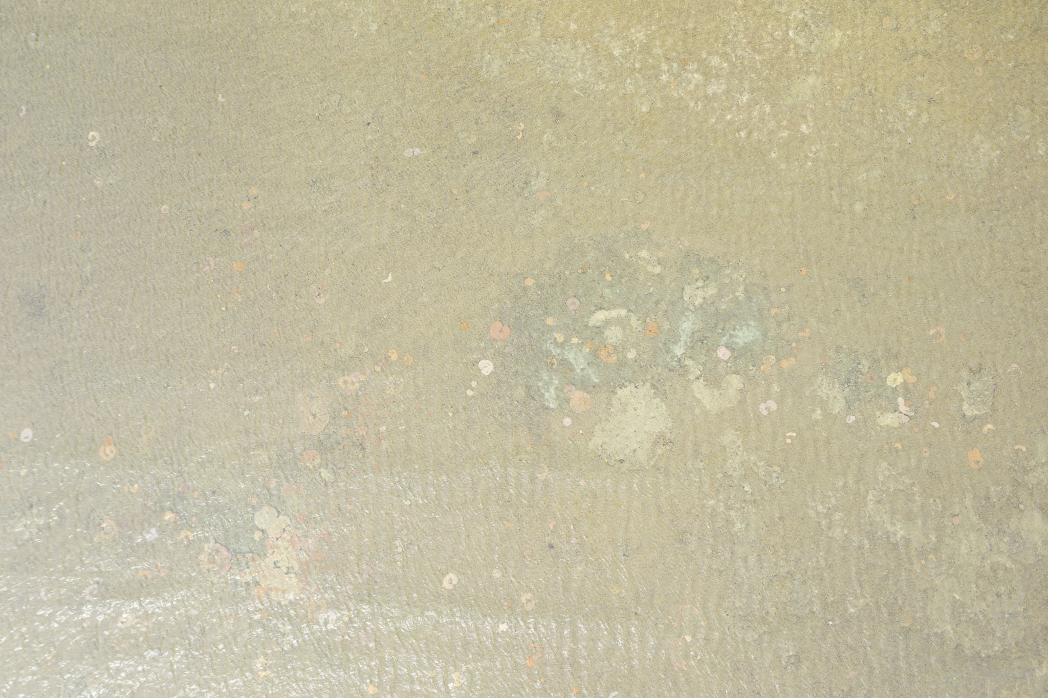 | 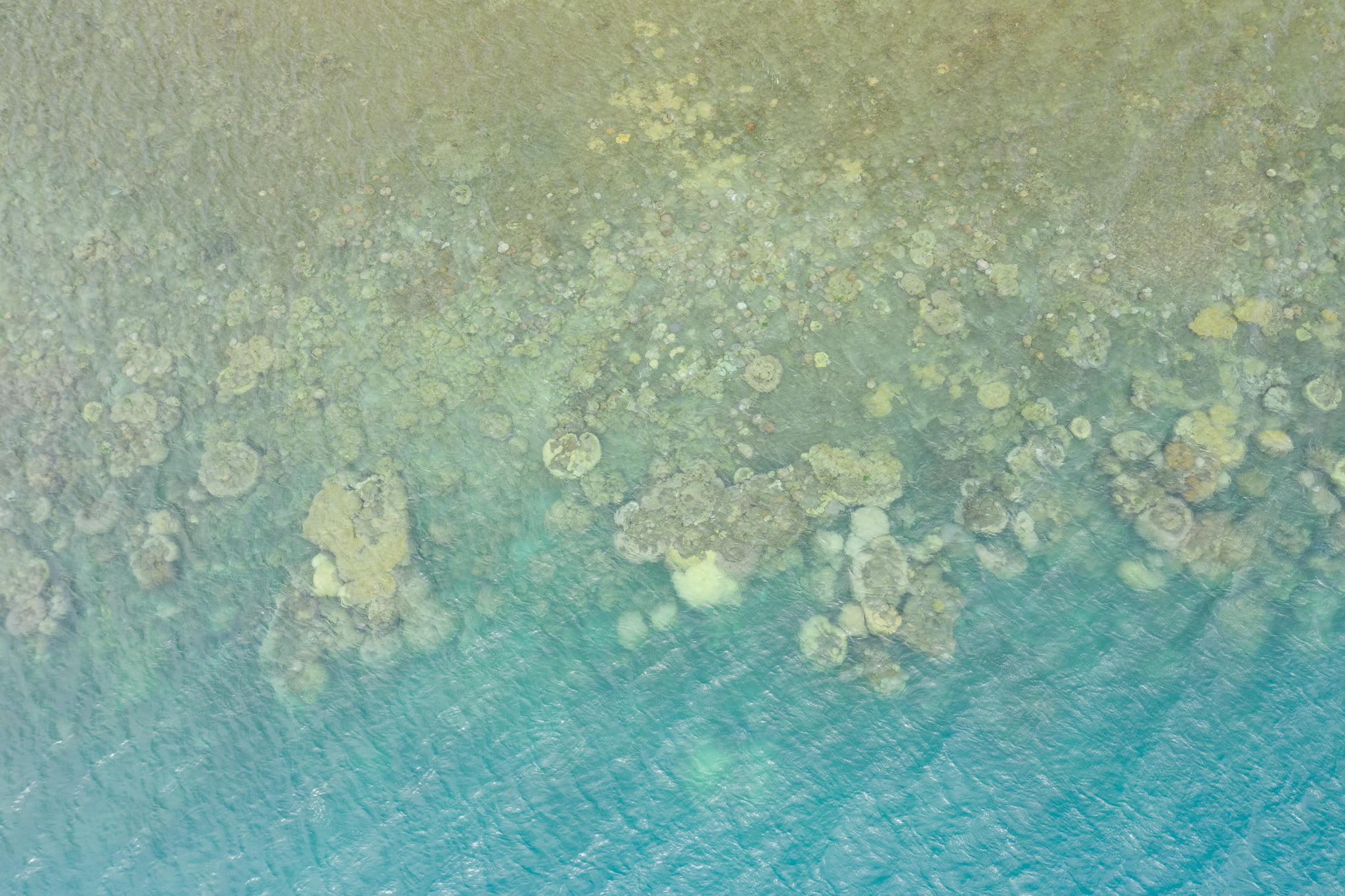 |
| +20 m | 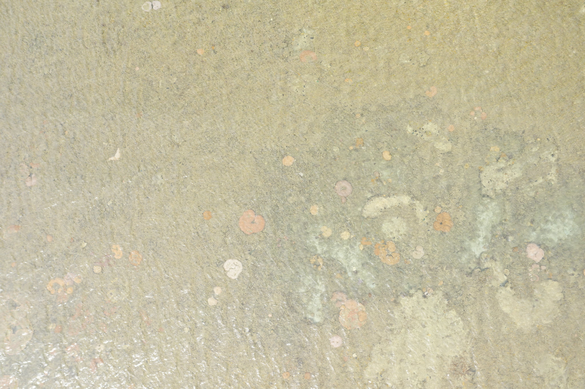 | 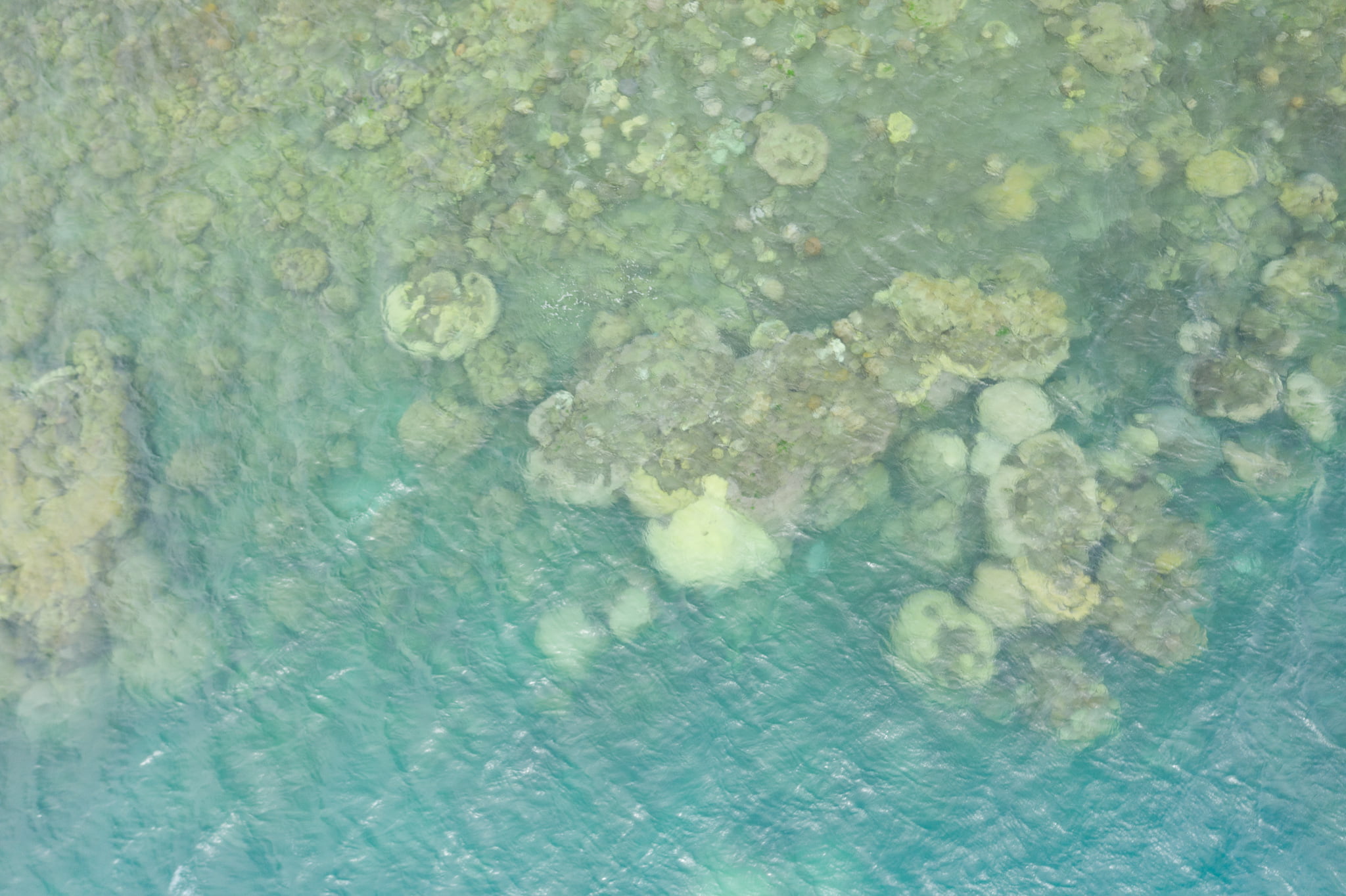 |
| +10 m | 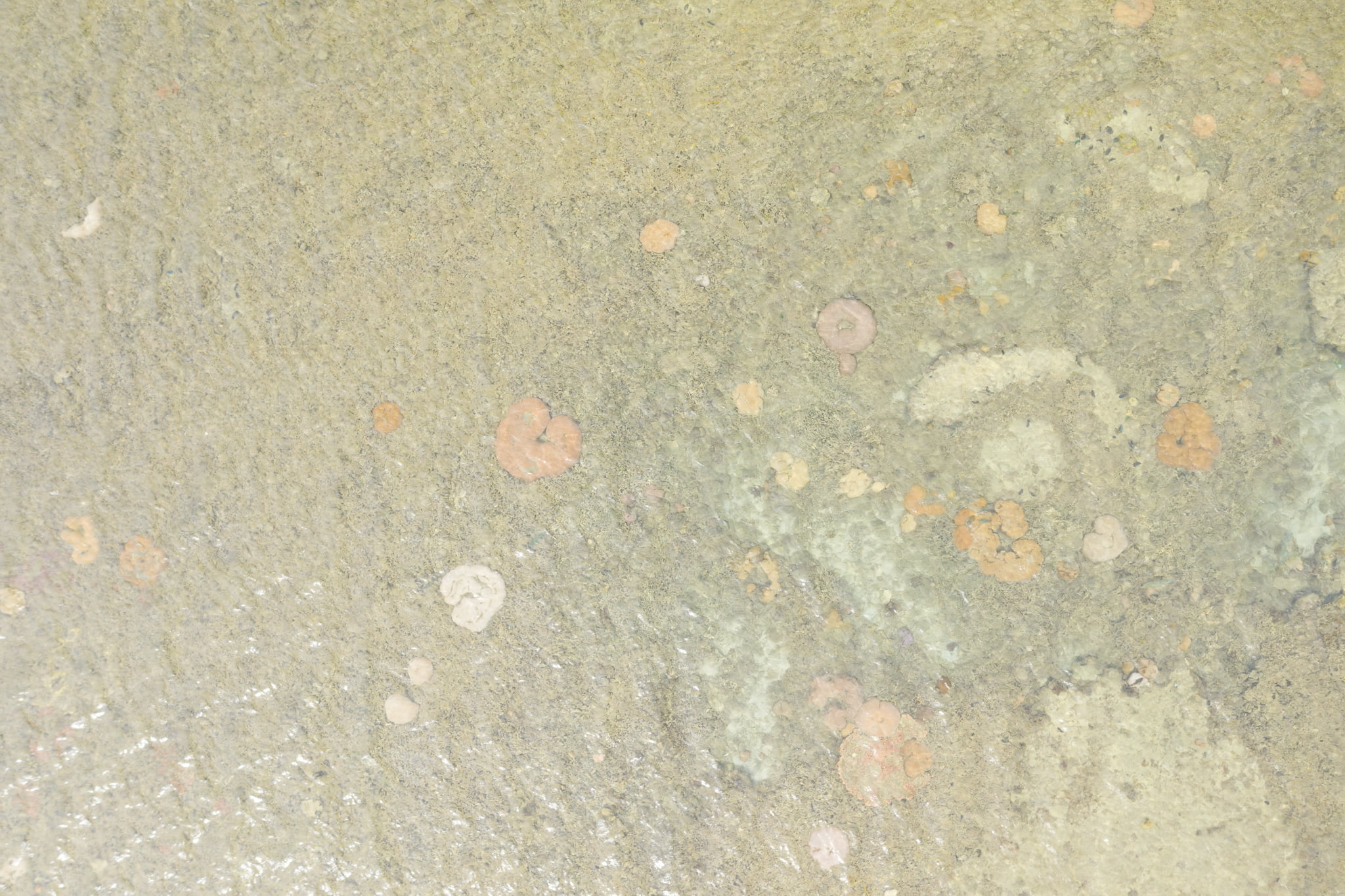 |  |
| +5 m | 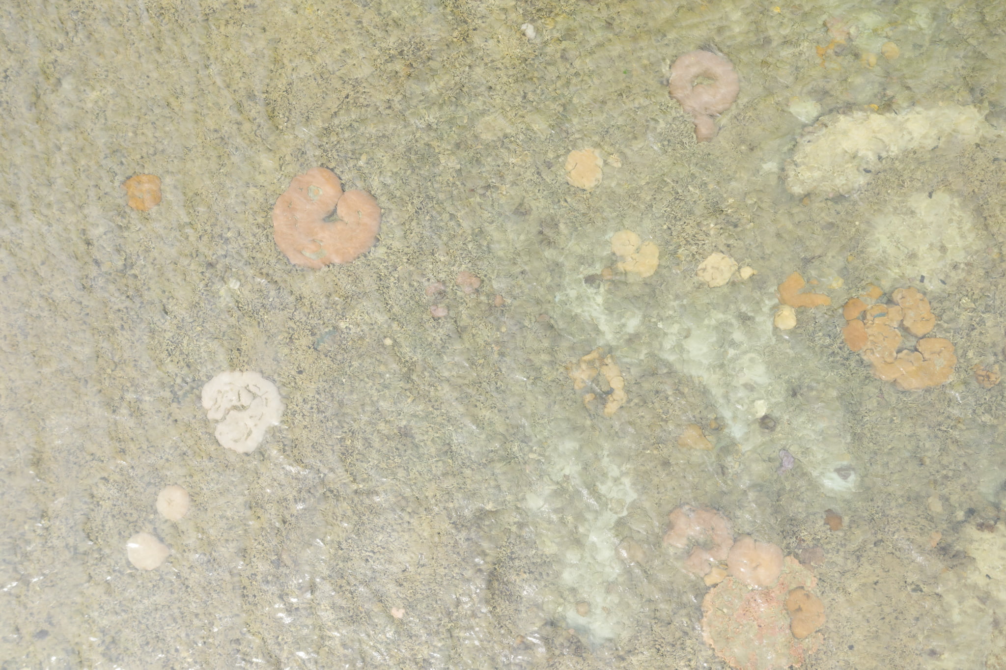 | 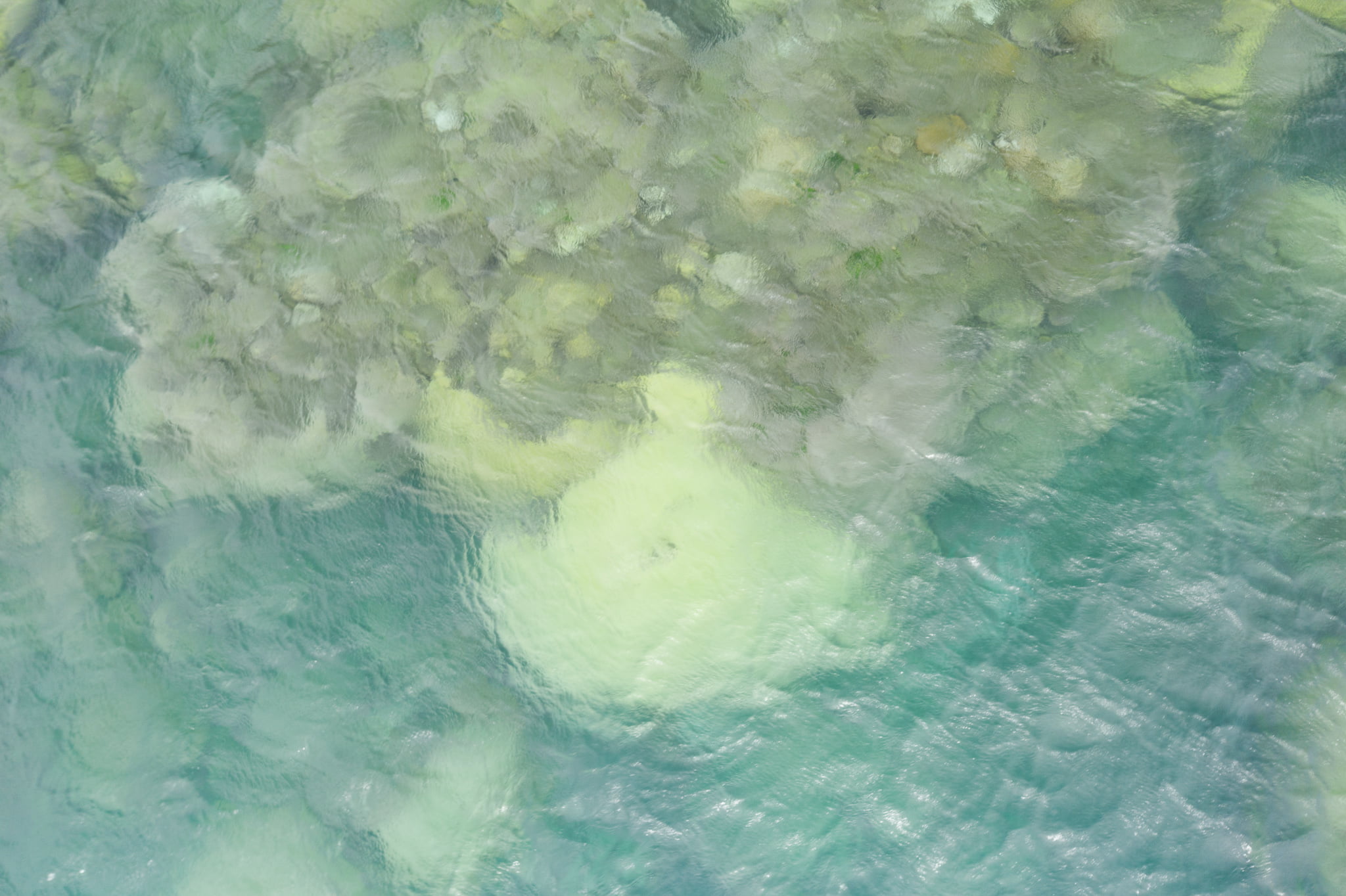 |
| -1 m | 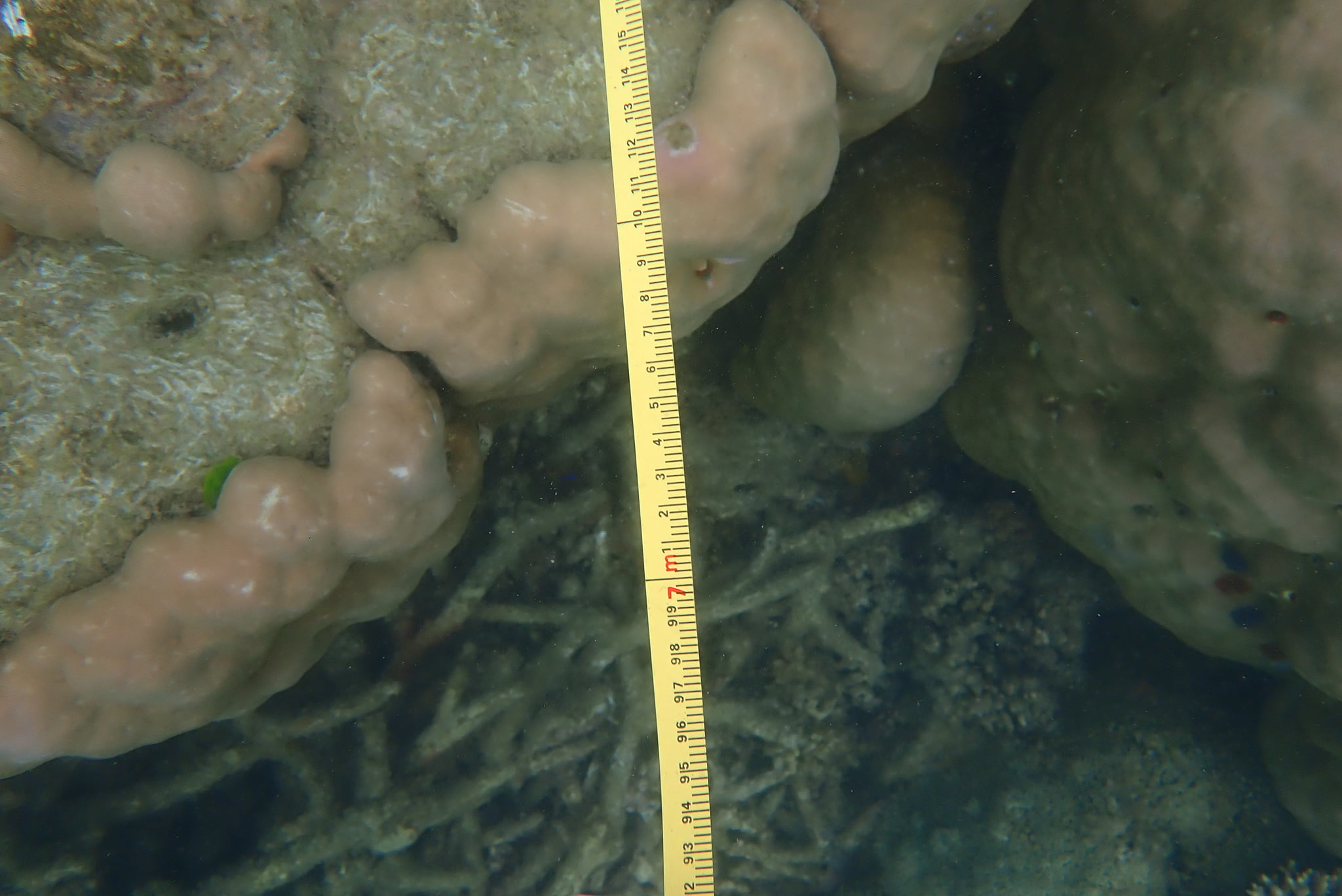 | n/a |
| -5 m | n/a | 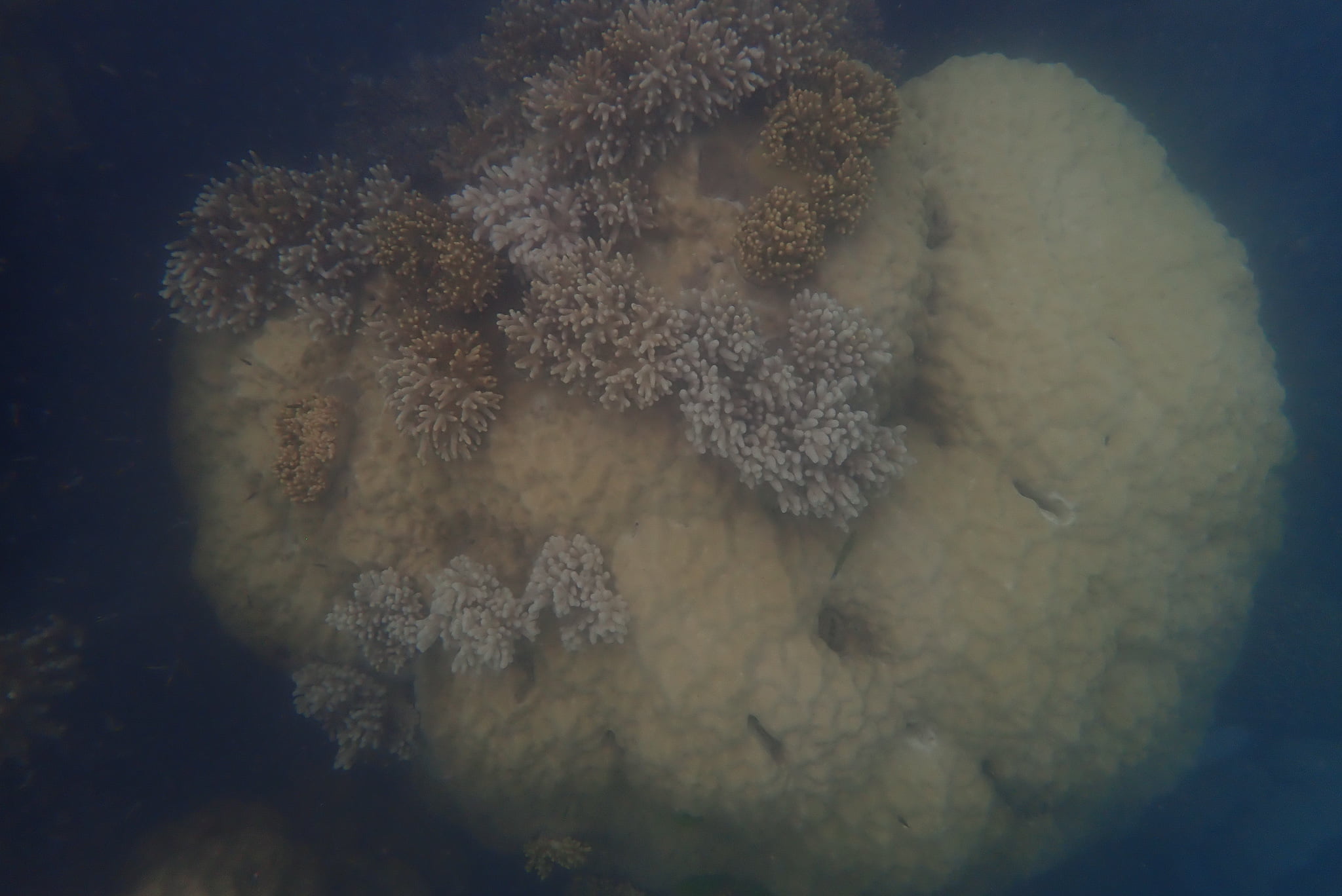 |
| -5 m (micro) | n/a | 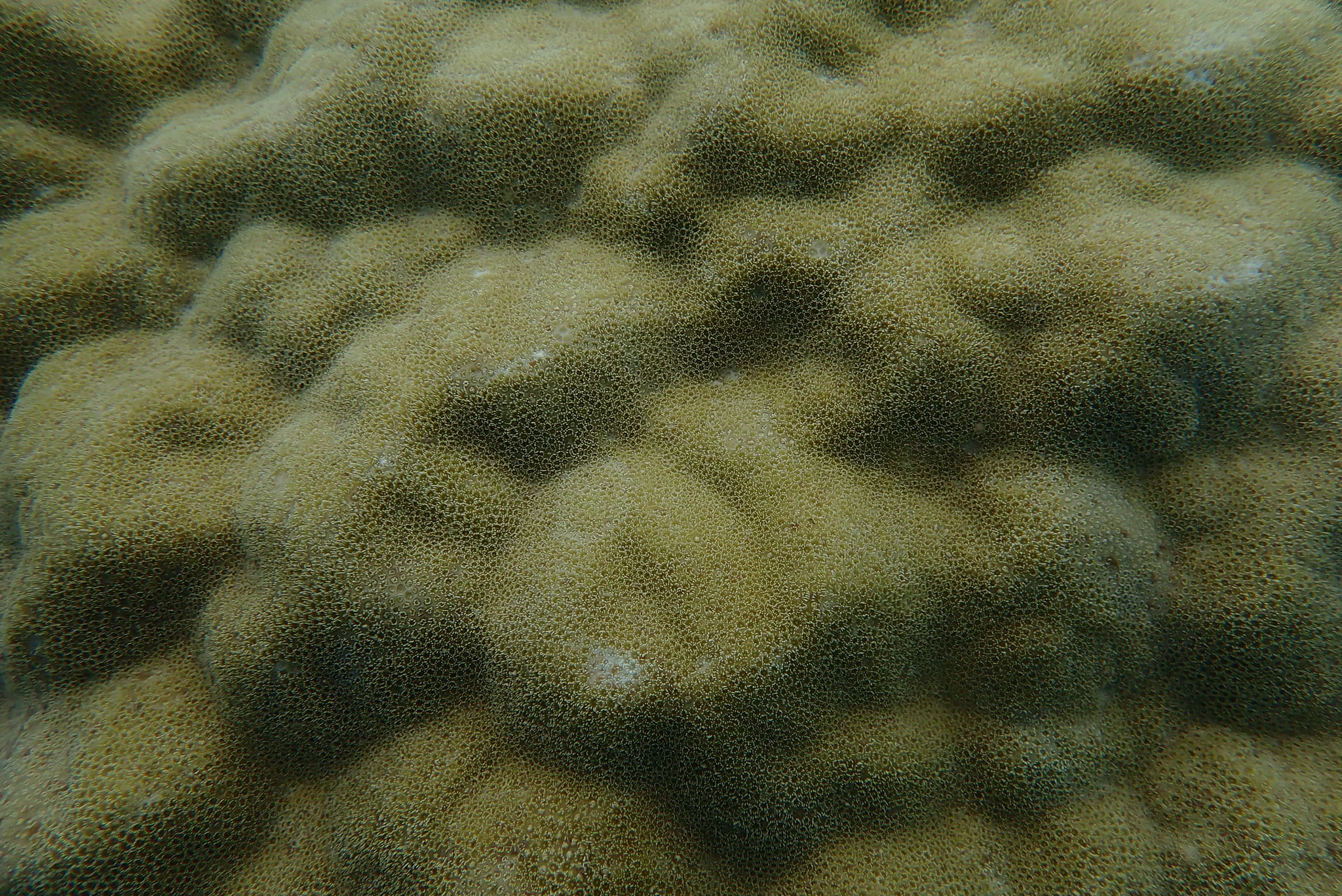 |
The donut-like shape is especially evident in the pink, beige and white corals photographed from 5 metres altitude above the reef crest, as shown in the photograph in Table 1 (click on the thumbnail for a larger view).
Claims that 50 – 60% of the Great Barrier Reef has been bleached are based on estimates from flying-overs hundreds of reef crests at a similar altitude. Yet it is impossible to distinguish individual corals at this altitude. In order to know the health of a coral it is necessaary to go under the water, to see if the corallite is intact. The corallite is intact and the tentacles extended from the massive Porites coral, as shown at the 5 metres depth above the slope in Table 1.
We also photographed along belt transects at 1 metre and 5 metre depths following the reef contour, as shown in Table 2. Click on the thumbnails for a larger view.
Table 2. Horizontal Photographic Transects at Crest
These photographs were taken along a 10-metre belt-transect laid with a tape measure following the reef contour.Date: 28 Nov 2020
Time: 15:45-15:55
Habitat: Crest
| Depth | Rep | @1m | @2m | @3m | @4m | @5m | @6m | @7m | @8m | @9m | @10m |
|---|---|---|---|---|---|---|---|---|---|---|---|
| 1 m | 1 | ||||||||||
| 1 m | 2 | ||||||||||
| 1 m | 3 |
Table 3. Horizontal Photographic Transects at Slope
The first transect at 5 m began from a large Porites and after the 10 metres of recording, we swam 10 metres before laying the next transect, following the reef contour at that depth.The transects at 10 m depth will be laid as per the AIMS program.
Date: 28 Nov 2020
Time: 15:27-15:41
Starting location: (17.30638889° S, 146.0919444° E)
Habitat: Slope
| Depth | Rep | @1m | @2m | @3m | @4m | @5m | @6m | @7m | @8m | @9m | @10m |
|---|---|---|---|---|---|---|---|---|---|---|---|
| 5 m | 1 | ||||||||||
| 5 m | 2 | ||||||||||
| 5 m | 3 | ||||||||||
| 10 m | 1 | ||||||||||
| 10 m | 2 | ||||||||||
| 10 m | 3 |
The most prolific growth and highest biodiversity at a fringing coral reef is typically down the reef slopes. This could be best recorded by way of a transect that ran vertically from sea level to the sandy sea floor. It is our intension to return to High Island and run such a transect, and show the photograph in Table 4.
Table 4. Vertical Photographic Transects
These transects have yet to be laid.The data have not yet been collected.
There are no photographs, yet.
| Rep | |||
|---|---|---|---|
| Depth | 1 | 2 | 3 |
| 1 | |||
| 2 | |||
| 3 | |||
| 4 | |||
| 5 | |||
| 6 | |||
| 7 | |||
| 8 | |||
| 9 | |||
| 10 | |||
| 11 | |||
| 12 | |||
| 13 | |||
| 14 | |||
| 15 | |||
| 16 | |||
| 17 | |||
| 18 | |||
| 19 | |||
| 20 | |||
There is more discussion at a first blog post: https://jennifermarohasy.com/2021/01/measuring-old-corals-coral-reefs-part-2/
 Jennifer Marohasy BSc PhD is a critical thinker with expertise in the scientific method.
