
 THIS WEBPAGE IS A DRAFT/UNDER CONSTRUCTION
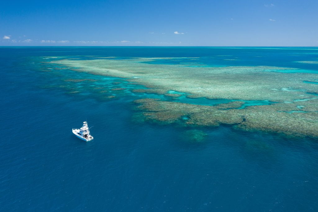
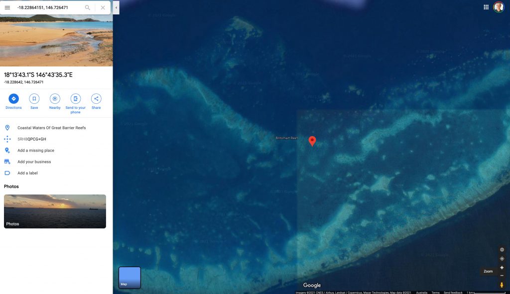
Britomart Reef is a mid-shelf reef 23 kilometres long and and 8 kilometres wide situated 120 kilometres north of Townsville in the central Great Barrier Reef.
A study by Johnson and Cuff (Sedimentology, volume 31, 1984) found that the Holocene section of this reef is 25.5 metres thick and overlies an uneven substrate of weathered Pleistocene limestone. Radiocarbon dating from the same study indicates:
The reef grew more rapidly under the lagoon than under the reef front from 7000 to 5000 years before present (BP). The rate of reef growth matched existing estimates of sea-level rise, but lagged approximately 1000 years(5-10 metres) behind it. Most of the reef mass accumulated between 8500 and 5000 years before present as a mound of debris, perhaps stabilised by seagrasses or algae. Accretion of the reef top in a windward direction between 5000 and 3000 years before present created the present, steep reef-front profile.
Table 1. Scale Profile, Britomart Reef
The position is relative to sea level at the time the photograph was taken in metres, so +120 metres is this height above the coral reef, and -1 metres (to be added) is a photograph taken at this depth below the water.| Position | @Crest | @Lagoon |
|---|---|---|
| Date | 30 Nov 2020 | 30 Nov 2020 |
| Time | 13:40 | 13:44 |
| Latitude | ° S | ° S |
| Longitude | ° E | ° E |
| Google Earth | ||
| +120 m Legal drone limit | 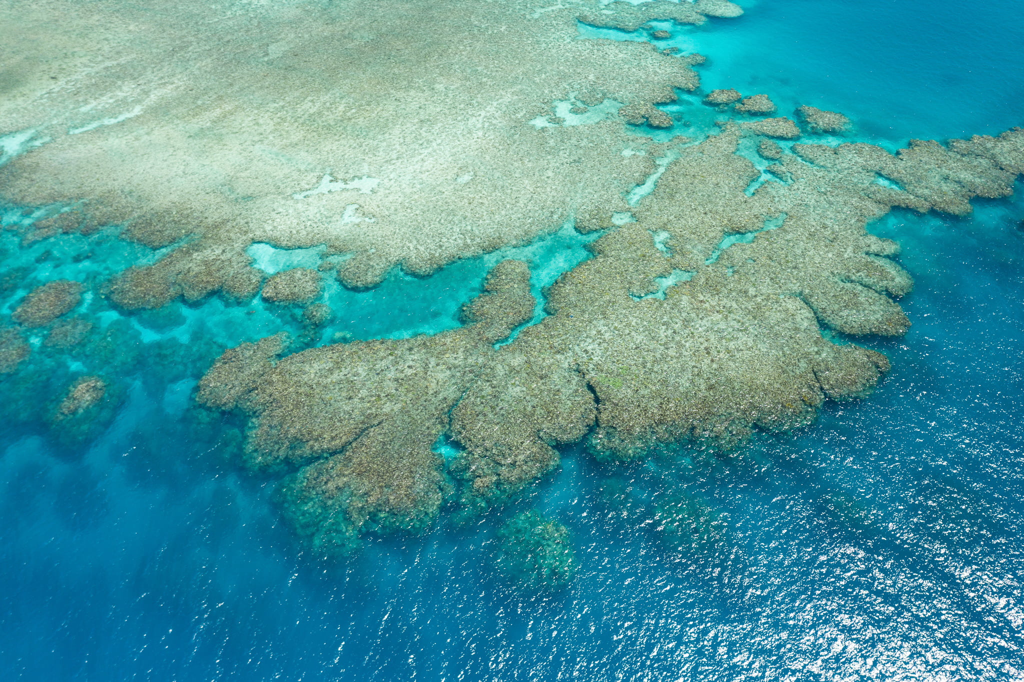 | 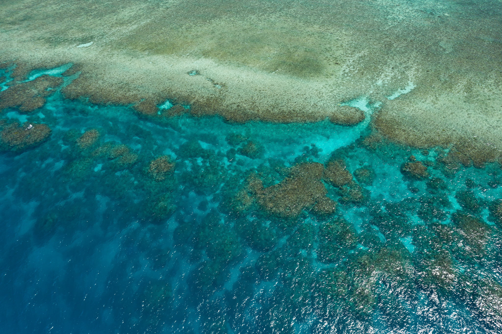 |
| +40 m | 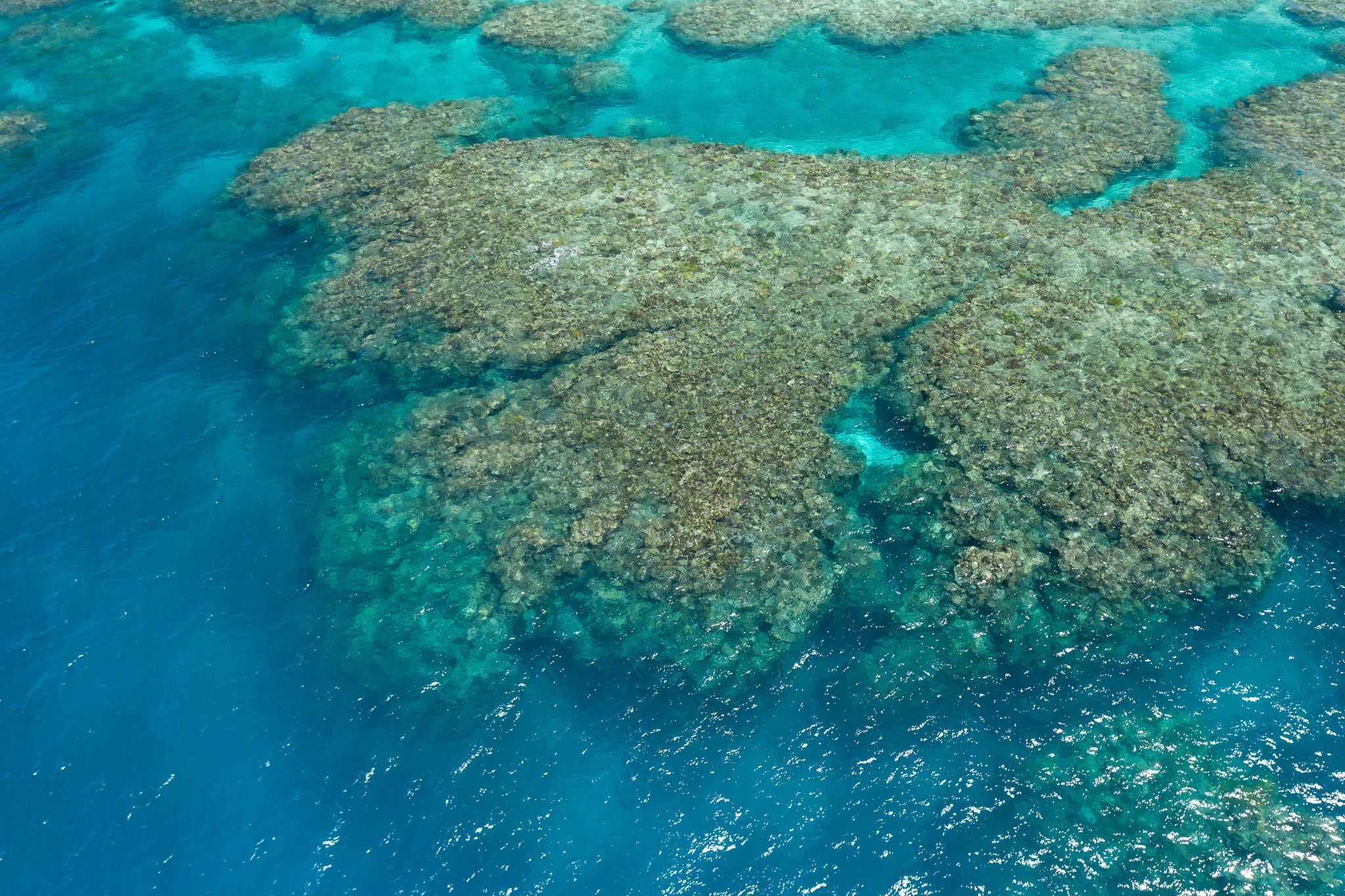 | 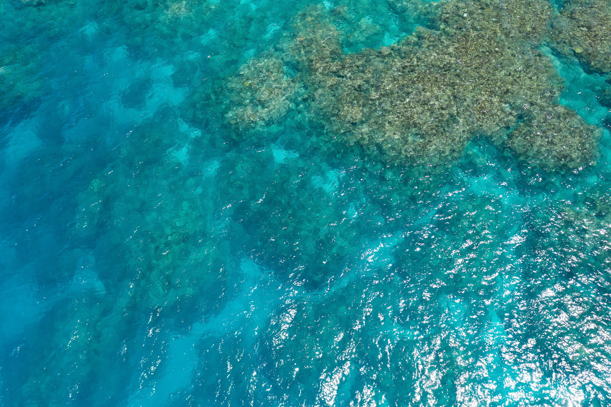 |
| +20 m | 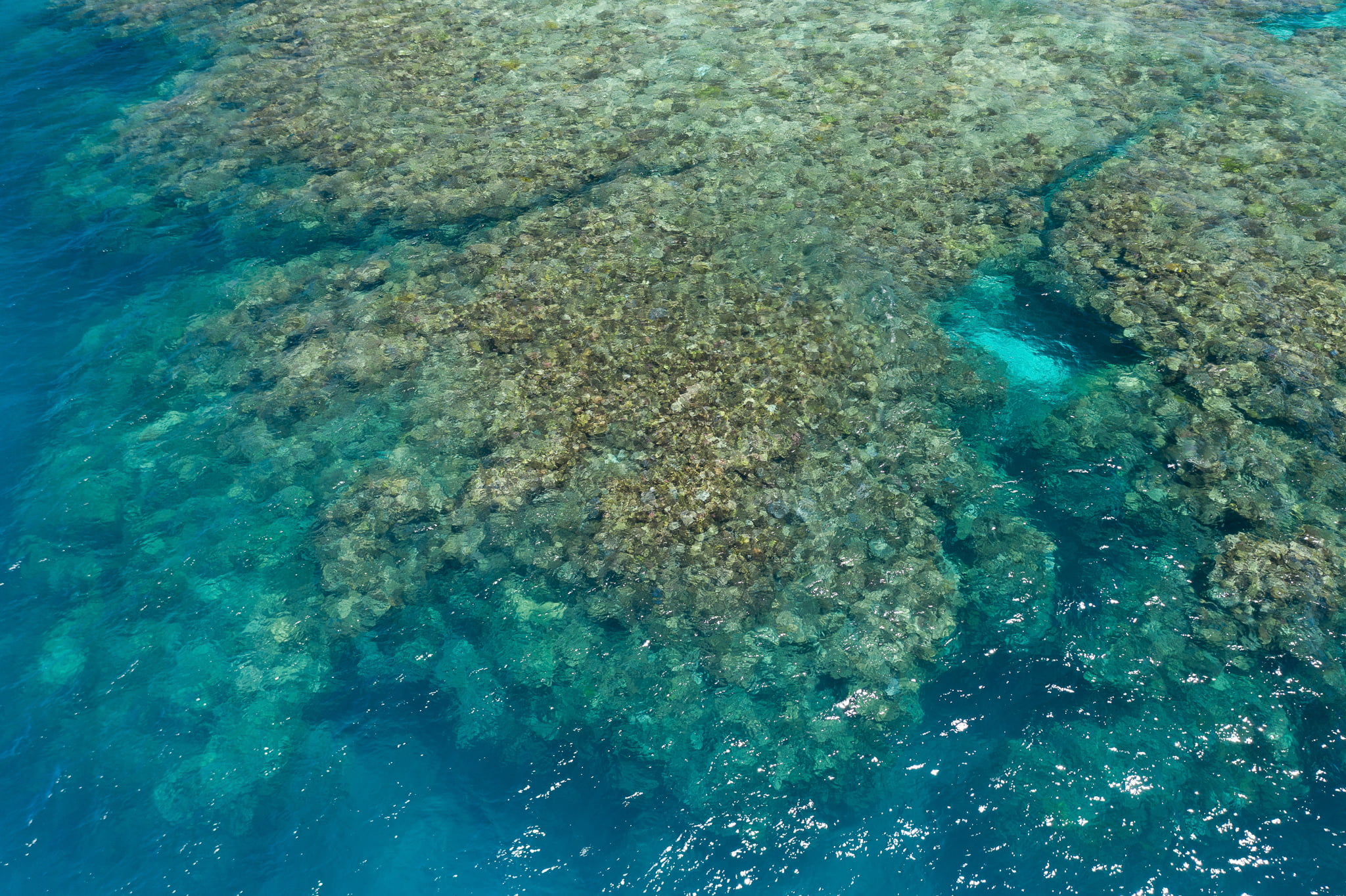 | 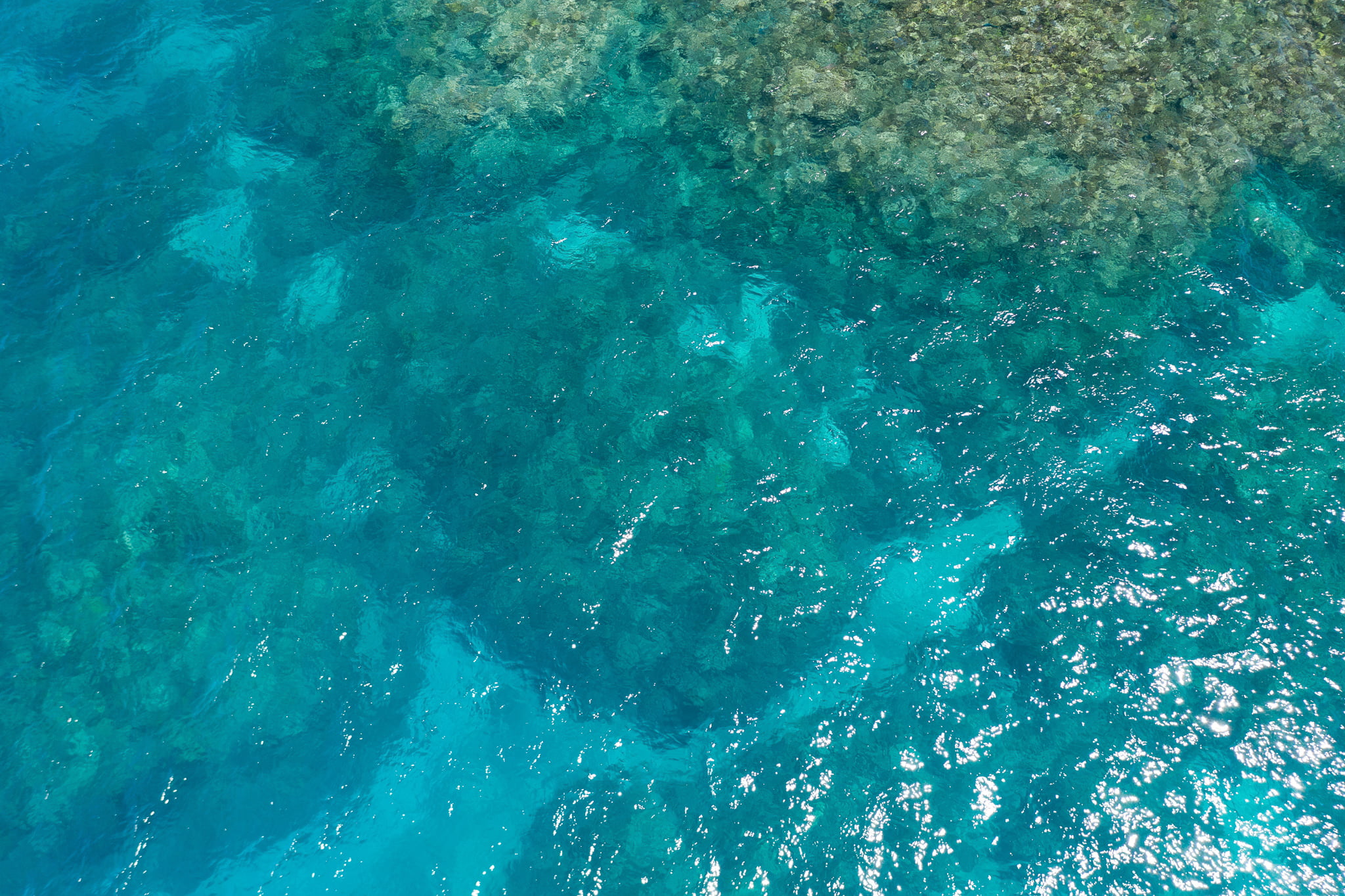 |
| +10 m | 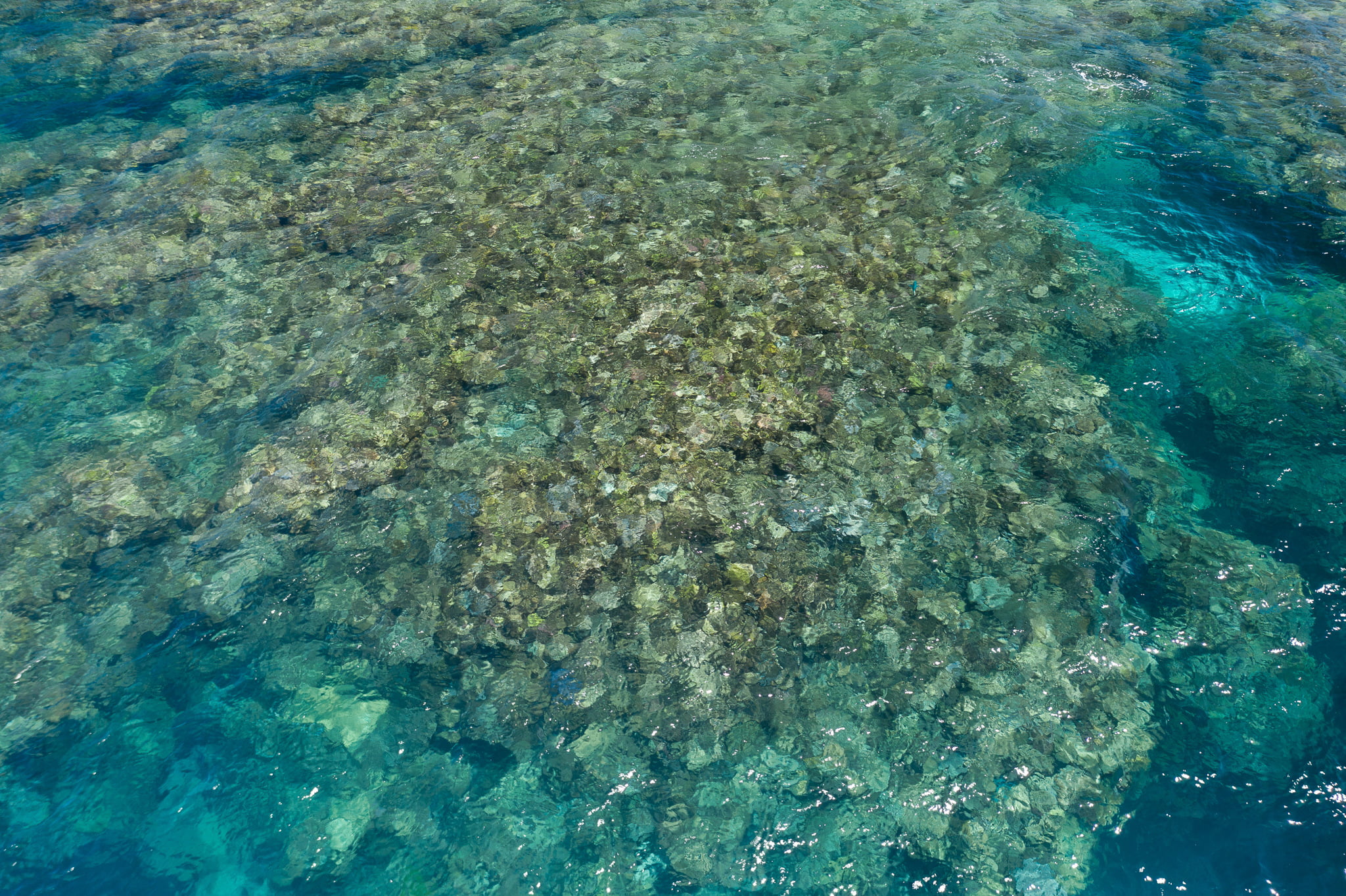 | 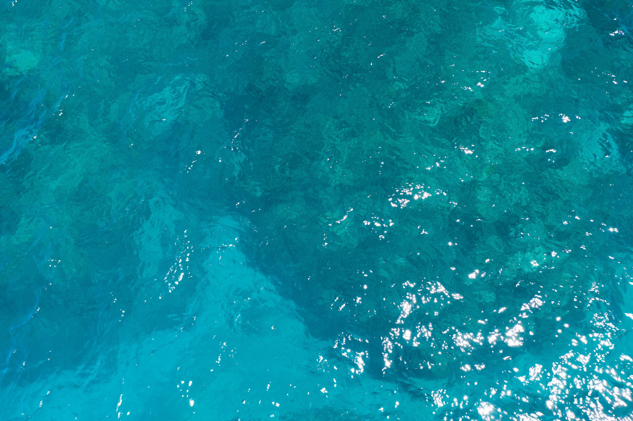 |
| +5 m | 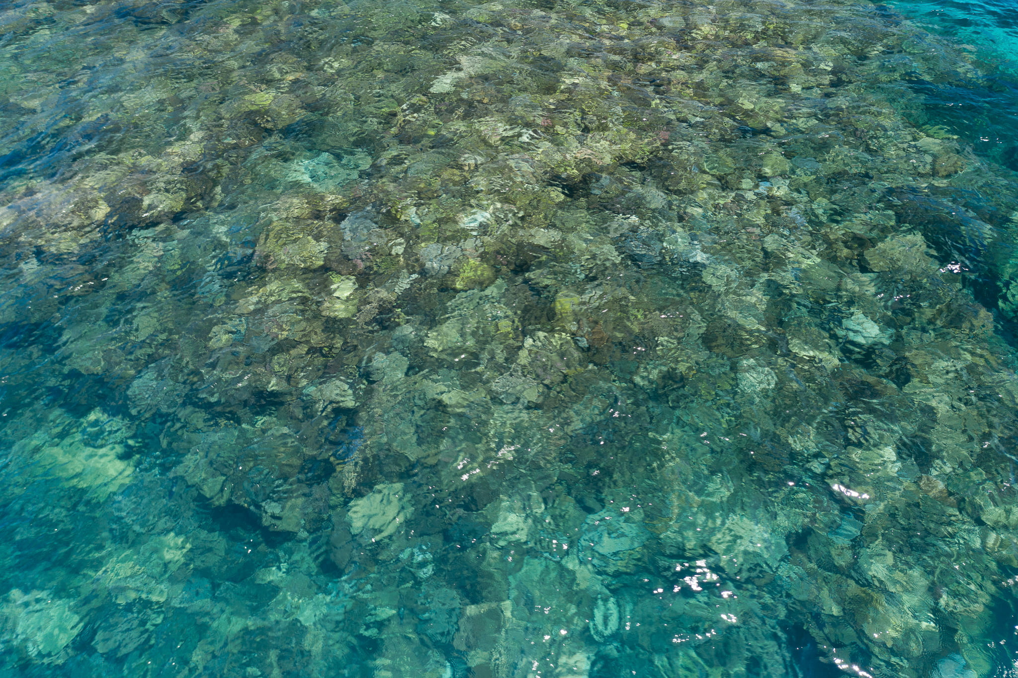 | 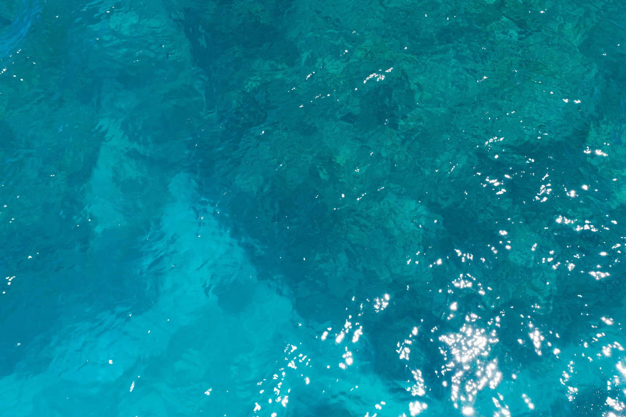 |
Table 2. Horizontal Photographic Transects at Britomart
Date: 30 Nov 2020Time: 14:17-14:59
Starting location: (° S, ° E)
Habitat:
| Depth | Rep | @1m | @2m | @3m | @4m | @5m | @6m | @7m | @8m | @9m | @10m |
|---|---|---|---|---|---|---|---|---|---|---|---|
| 2 m | 1 | ||||||||||
| 2 m | 2 | ||||||||||
| 2 m | 3 | ||||||||||
| 4 m | 1 | ||||||||||
| 6 m | 1 | ||||||||||
| 6 m | 2 |
This reef was listed as 10-30% bleached in a survey undertaken by Terry Hughes on 30th March 2016. The coordinates listed as metadata indicated the survey was of a section of the reef crest towards the back reef, consistent with the fly-over methodology as detailed in ‘Large-scale bleaching of corals on the Great Barrier Reef’ by T.P. Hughes, J.T. Kerry and T. Simpson in Ecology.
 Jennifer Marohasy BSc PhD is a critical thinker with expertise in the scientific method.
